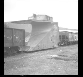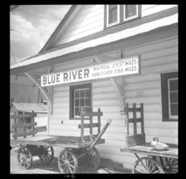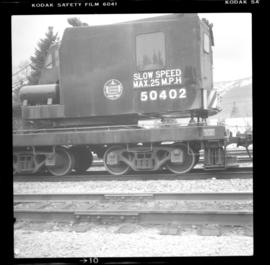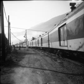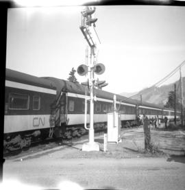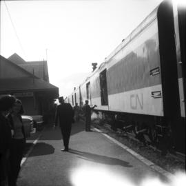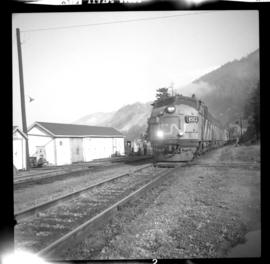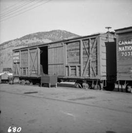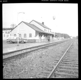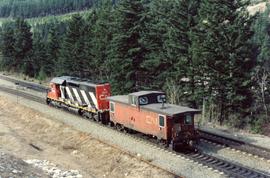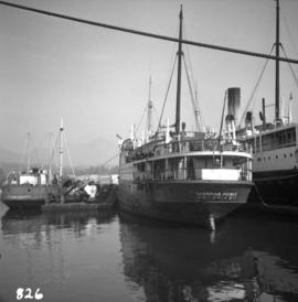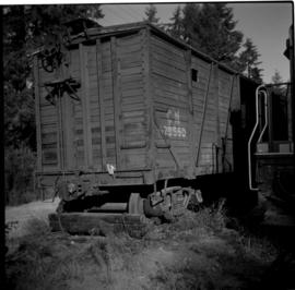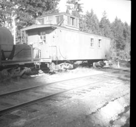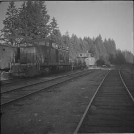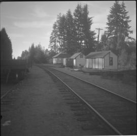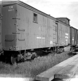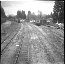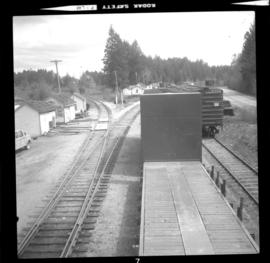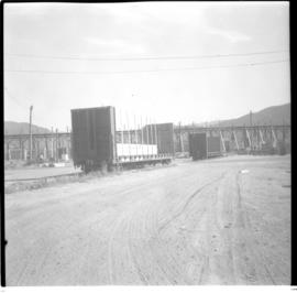
2013.6.36.1.038.29
·
Item
·
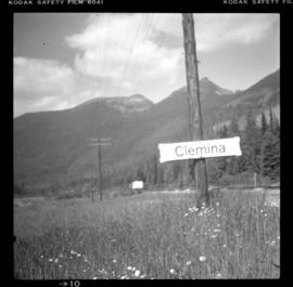
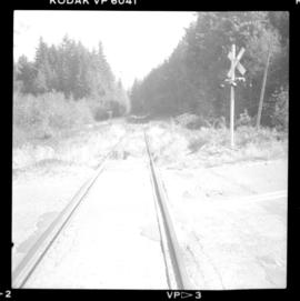
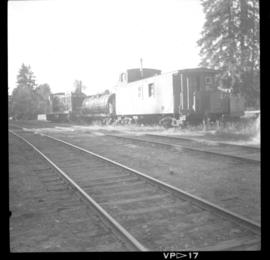
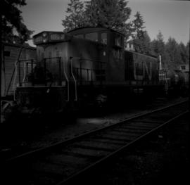
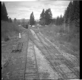
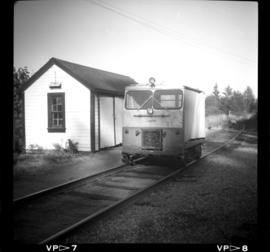
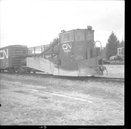
[2 May 1982]
Part of David Davies Railway Collection
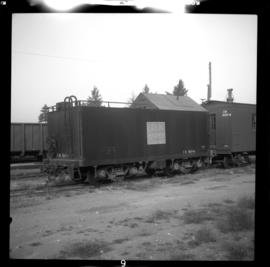
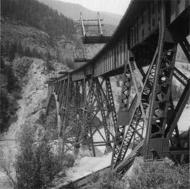
Photograph depicts a CN spreader, built in 1960.