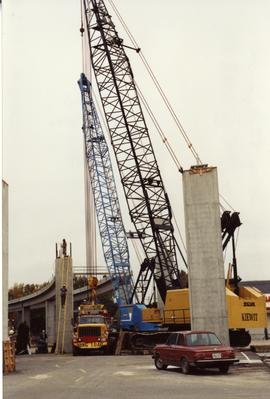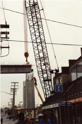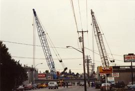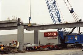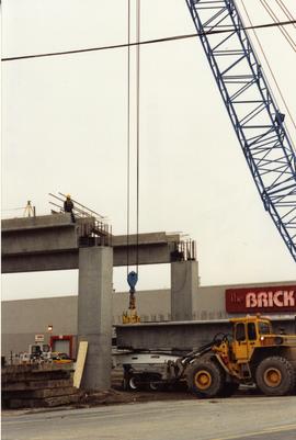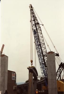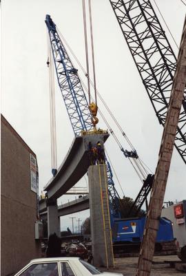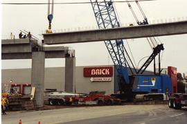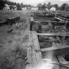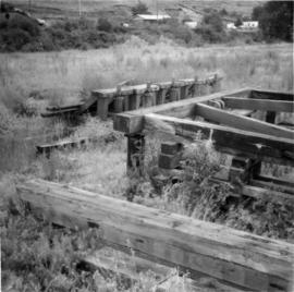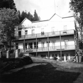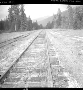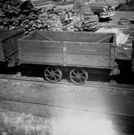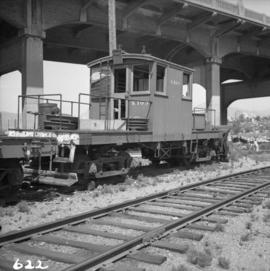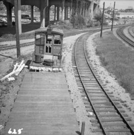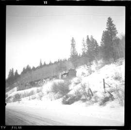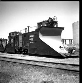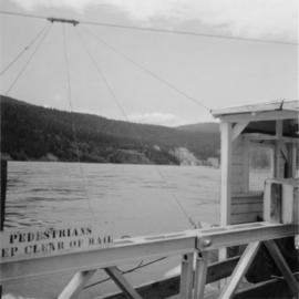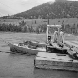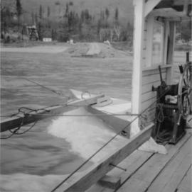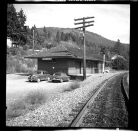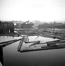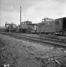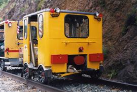
2013.6.36.1.134.08
·
Item
·
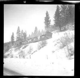
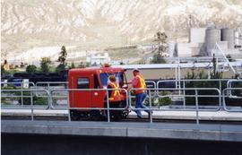
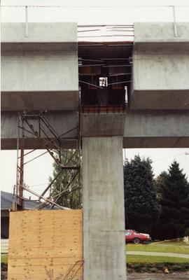
Nov. 1991
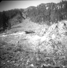
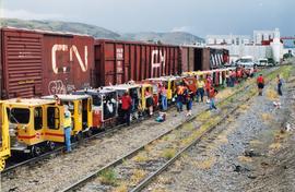
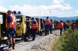
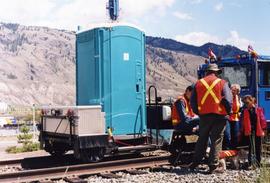
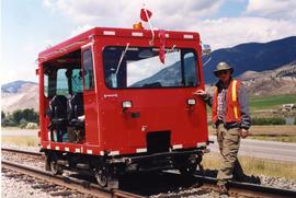
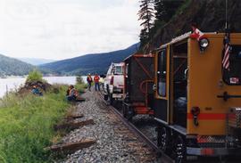
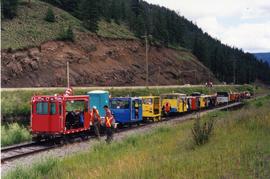
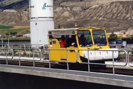
Part of David Davies Railway Collection
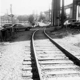
Photograph depicts the construction of a new Sky Train station.