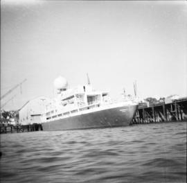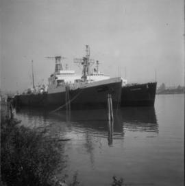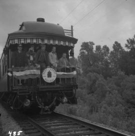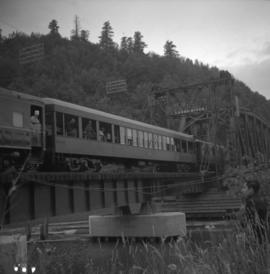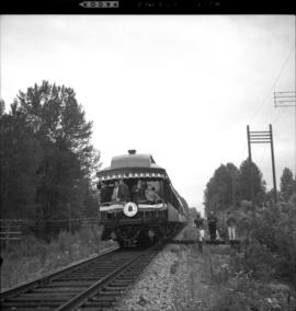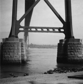
2013.6.36.1.001.30
·
Item
·
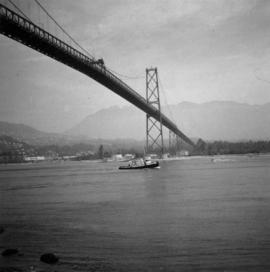
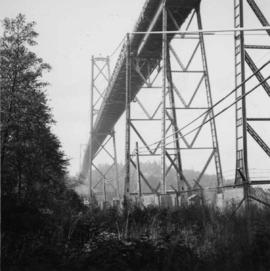
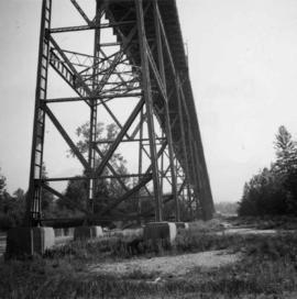
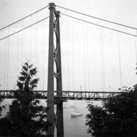
Aug. 1965
Part of David Davies Railway Collection
Photograph depicts the southern granite piers of the Lions Gate Bridge in Vancouver, BC