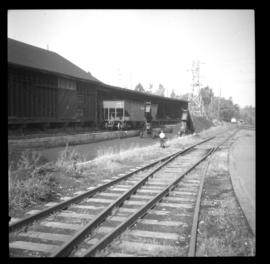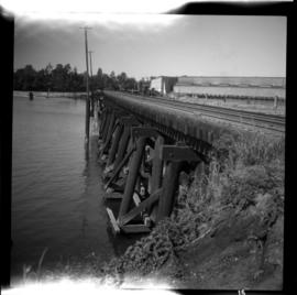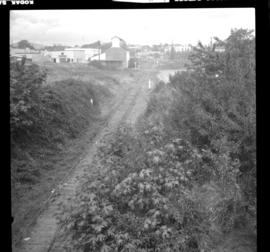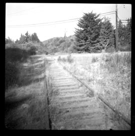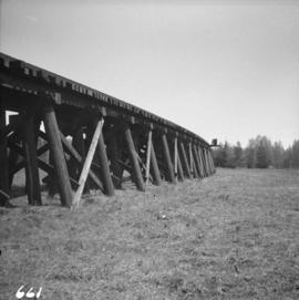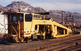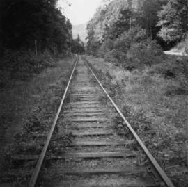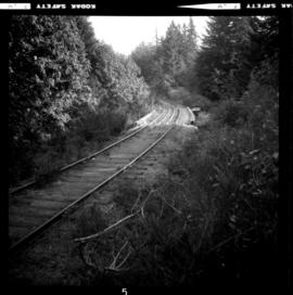
2013.6.36.1.044.18
·
Item
·
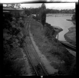
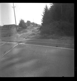
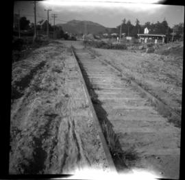
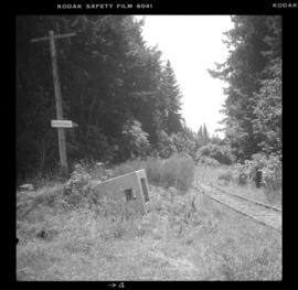
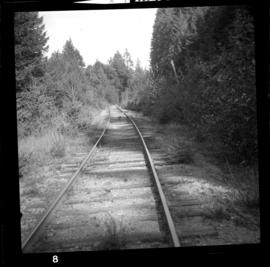
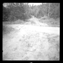
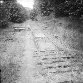
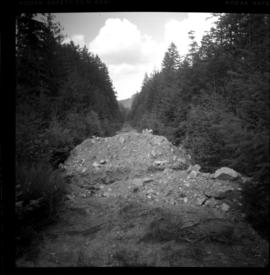
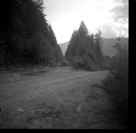
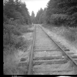
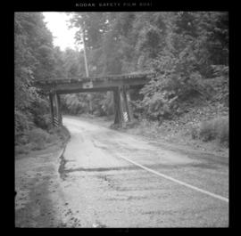
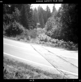
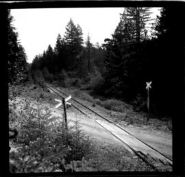
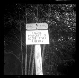
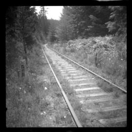
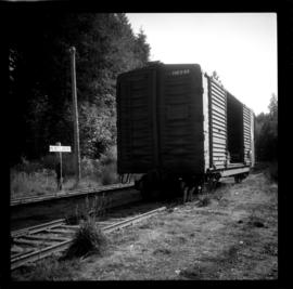
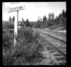
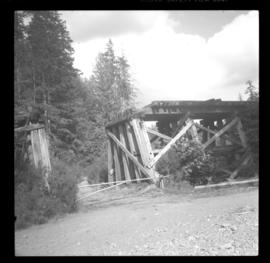
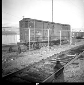
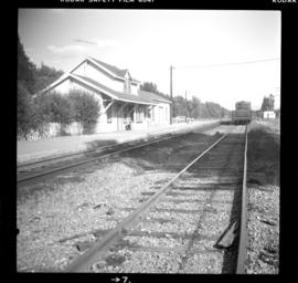
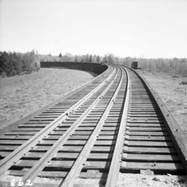
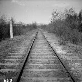
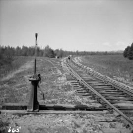
1 Sept. 1971
Part of David Davies Railway Collection
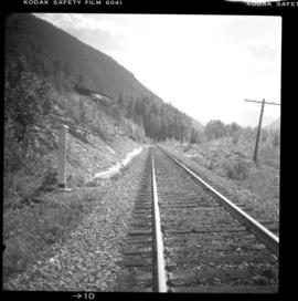
Photograph taken on the Victoria to Deerholme branch. Track was close to the east side of Sooke Basin and near Matheson Lake Park. At this date, the branch was used weekly between Deerholme and the way point was as far as the Rocky Point Ammunition Depot which was about 3 miles east of where the photograph was taken.