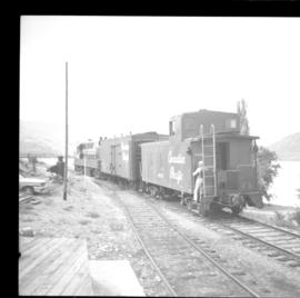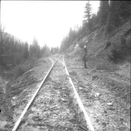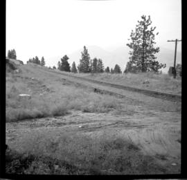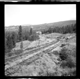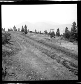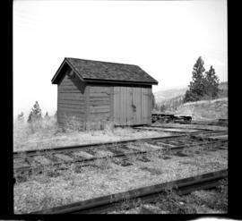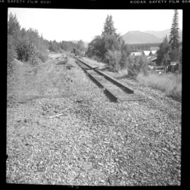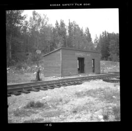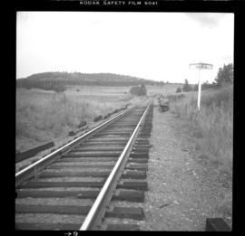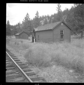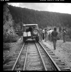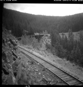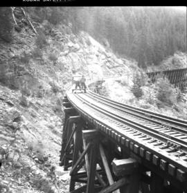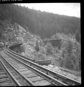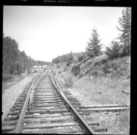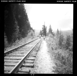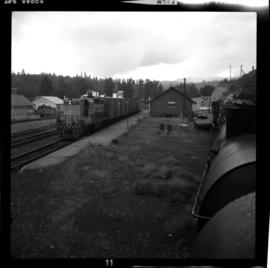
2013.6.36.1.021.08
·
Item
·
19 Sept. 1970
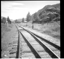
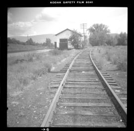
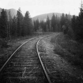
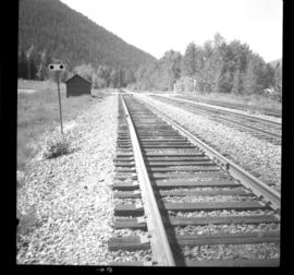
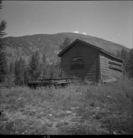
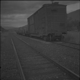
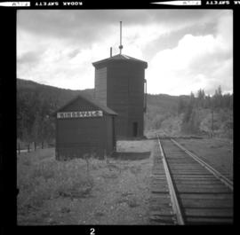
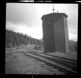
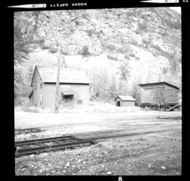
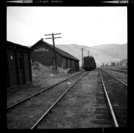
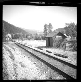
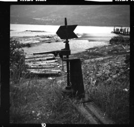
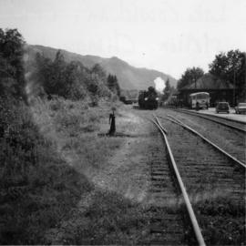
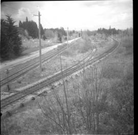
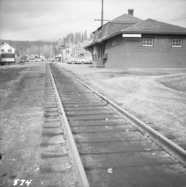
Part of David Davies Railway Collection
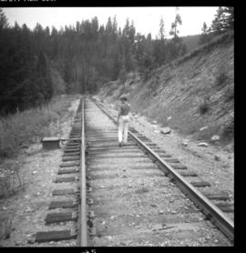
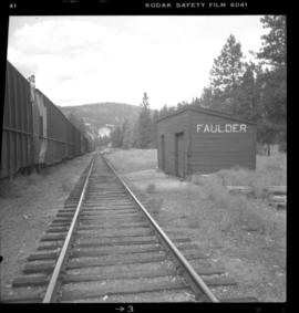
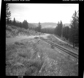
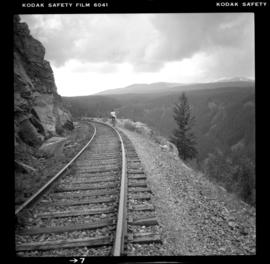
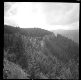
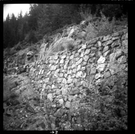
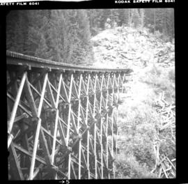
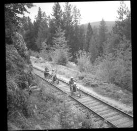
Photograph depicts the CPR line at Princeton, located at mile 70.5 on the Princeton Subdivision, from Penticton. The way freight runs Penticton-Princeton-Penticton. Twice a week this crew does the Penticton-Midway-Penticton run. The freight train in the picture is headed by CPR locomotive #8830 and had 4 boxcars loaded with lumber.