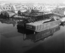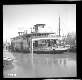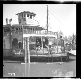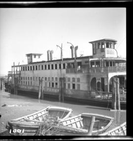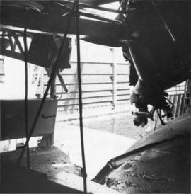
2013.6.36.1.063.07
·
Item
·
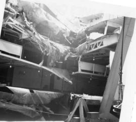
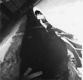
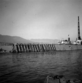
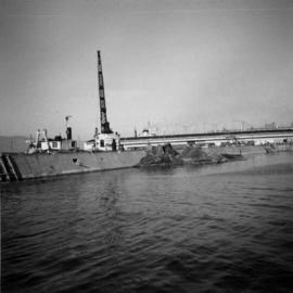
3 Aug. 1970
Part of David Davies Railway Collection
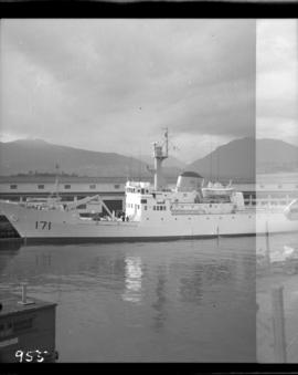
Photograph depicts the "Queen of Victoria" 24 hours after it had collided with a freighter. Visible is damage that was caused by the freight's bow. Taken looking outwards from the main car dock.