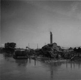
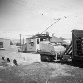
Photograph depicts a view of a body of water with various buildings in the background. A structure in the foreground is labelled "Yorke N. 12, Vancouver B.C.," suggesting it was built by Yorke Ltd.
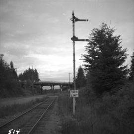
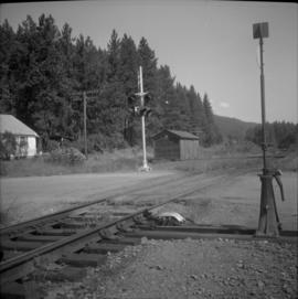
Photograph depicts yard signals of the MacMillan Bloedel & Powell River Logging Railway, primarily protecting the Comox Logging & Railway Company crossing. The Esquimalt and Nanaimo Railway is about 300 yards to the north. Crossing is near Ladysmith. It is most unusual to find signal in B.C. at this point.
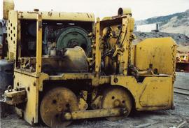
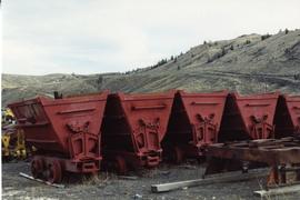
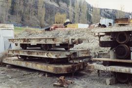
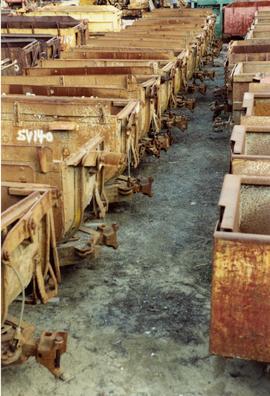
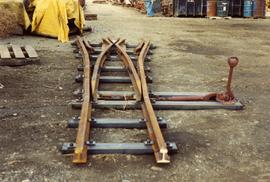
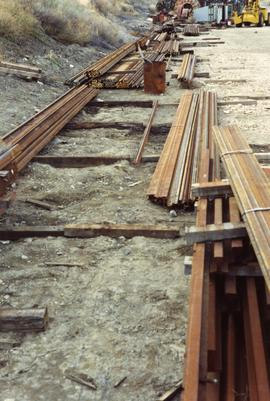
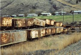
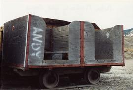
Photograph depicts the Nelson Machinery yard in Savona.
Photograph depicts the Nelson Machinery yard in Savona.
Photograph depicts the Nelson Machinery yard in Savona.
Photograph depicts the Nelson Machinery yard in Savona.
Photograph depicts the Nelson Machinery yard in Savona.
File consists of documentary photographs taken by David Davies of the Nelson Machinery yard in Savona, British Columbia.
Photograph depicts the Nelson Machinery yard in Savona.
Photograph depicts the Nelson Machinery yard in Savona.
Photograph depicts the Nelson Machinery yard in Savona.
Postcard depicts Yale, BCin 1881.
Postcard depicts Yale on the Fraser River.
Photograph depicts the Yakima Valley Traction Company in Yakima, Washington.
Photograph depicts the east end of the Yahk Junction and yards on the CPR line. The yard consisted of a main line and a Kingsgate branch with also acted as a 155 car length passing loop. There was also three other sidings and a radio signals shack.
Photograph depicts the Yahk Junction on the CPR line. It is the junction for the Kingsgate Subdivision, which runs south for 10 miles to the border crossing at Kingsgate and there connects with the Spokane International Railway, which is a CPR Subsidiary. Yahk is located at about mile 40.6 on the Nelson Subdivision, which spans 138 miles from Cranbrook to Nelson.
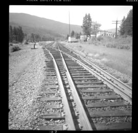
Photograph taken looking towards a "Y." Only the left or northside of the "Y" appeared to be in use and was only about half the length. A crosspiece of it was actually unusable.
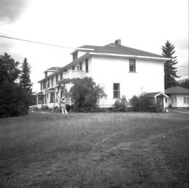
Photograph depicts the Wrinch Memorial Hospital. It held 54 beds and was founded by Dr. Winch for the benefit of the local First Nations population.
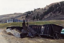
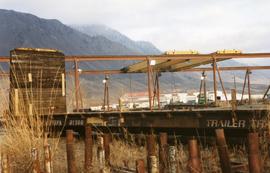
Photograph depicts wrecked sulphur cars parked in a pipe yard.
Photograph depicts a little used works trailer of steam traction. Era vintage, but carried 1966 trailer plates.
Series consists of material regarding railway employees and work force. Includes information about training, safety, recruitment, labour relations, railway unions, job titles, managers, pay scales, and uniforms. Also includes collective agreements and operating rules for employees.
Photograph depicts a work crew train on the B.C. Electric Railway trackage, just south of the north arm crossing of the Fraser River on Lulu Island. The crews are working on re-routing the track to Steveston at this point.
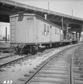
Photograph depicts a work car, flat car, and ex-electric stock snow plow at the B.C. Electric Railway Kitsilano workshop yards in Vancouver.
Photograph depicts a Woodings Rail car owned by Kettle Valley Steam (Heritage) Railway. Davies noted that it was a rare example to have seen in B.C. at the time. It was believed to have been a type that was favored by the CPR.
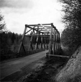
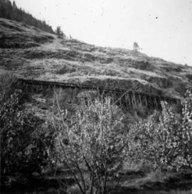
Photograph depicts a wooden truss bridge in north Washington, probably somewhere east of Everett.
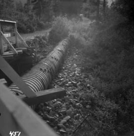
Photograph depicts a wooden pipeline carrying irrigation water in the Similkameen Valley, near Ashnola and Keremeos.
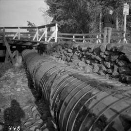
Photograph depicts a wooden pipeline carrying irrigation water, about to be carried across the Similkameen River by being slung underneath a truss bridge. The pipeline is near Ashnola, west of Keremeos.
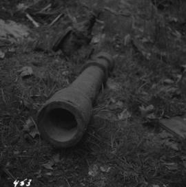
Photograph depicts a 3ft section of wooden pipe bound with wire, fitted to a metal 'T' piece with valve. Internal diameter approximately 4-5", while the facing end is approximately 6". It was recently taken out of service.
Photograph depicts a wooden irrigation flume on the west side of Oliver in the Osoyoos fruit valley, near #18 Rd.
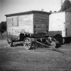
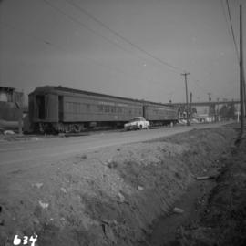
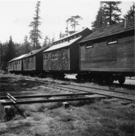
Photograph depicts wooden houses standing on tracks.
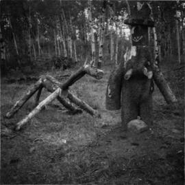
Photograph depicts wooden figures found on the road side, in the bushland near Green lake and 70 Mile House, Cariboo region.
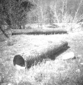
Photograph depicts wooden culverts found beside CPR track 10 miles south of Merritt and 1 mile south of Glenwalker Ranch.
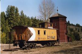
Photograph depicts a CPR preserved wooden caboose, dated 1947, and a water tank with 2 spouts.
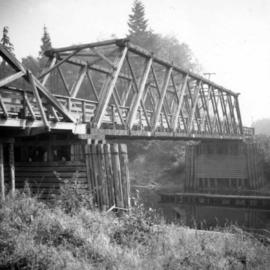
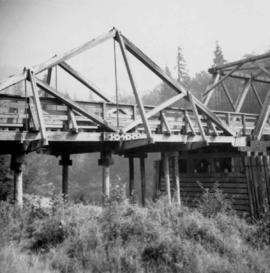
Photograph depicts a wooden bridge over the Salmon River near Sayward, near Kelsey Bay, on North Vancouver Island.
Photograph depicts a wooden bridge over the Salmon River near Sayward, near Kelsey Bay, North Vancouver Island.
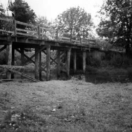
Photograph depicts a wooden bridge crossing a stream on the north side of Vedder Mountain near Belrose.
File consists of research material regarding woodchip cars. Predominantly consists of photocopy reproductions, excerpts from books, and clippings from periodicals.
Postcard depicts a "4-4-0 woodburning locomotive at Shuswap Station, east of Kamloops, at the turn of the century. The completion of the CPR across the Continent, guaranteed B.C.'s entry into Cinfederation, as well as reg economic and cultural connection to the East."
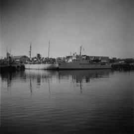
Photograph depicts "W.J Stewart," of Ottawa, that is located on the mid-left with two masts, and "Vector," found on the mid-right with one mast. Both were believed to be hydrographic vessels, painted in white and cream which were not Coastguard colours. Taken on the Upper Harbour of Victoria, at the Coastguard wharf.
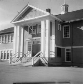
Photograph depicts Windsor School, an elementary school in south Burnaby.
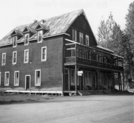
Photograph depicts Windsor Hotel, the only survivor of about 5 hotels that were in the area.
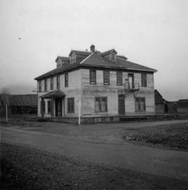
Photograph depicts the Windsor Hotel at Fort Steele, 10 miles northeast of Cranbrook. It was built in 1895 by Robert D. Mather and originally was called Dalgarno House. It is being renovated as a village museum.
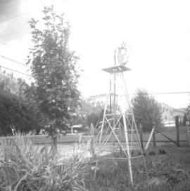
Photograph depictsa small windmill in the yard of a home.
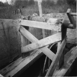
Photograph depicts a windlass over a shallow well used for cattle water supply. Found 1 mile north of the USA/Canadian border, south of Langley and north of Blaine.
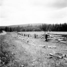
Photograph taken on the Williams Lake to Bella Coola road.
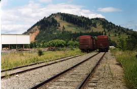
Photograph depicts Wilkinson Steel Ltd. The spur line was inside the property with an empty bulkhead car awaiting removal.
Map depicts the area around Wilkinson Creek near Carmi, BC. Annotated by Davies to show the Kettle Valley Railway.
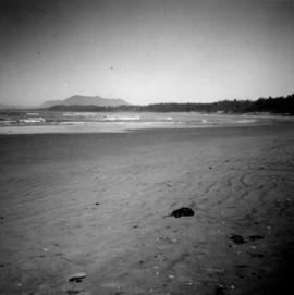
Photograph depicts Wickaninnish Beach, north of Ucluelet on Vancouver Island.
File consists of a promotional publication entitled "White Pass & Yukon Route: A Pictorial Journey".
Series consists of material regarding the White Pass and Yukon Route, a narrow gauge railway that links Skagway and Whitehorse. Includes monographs about the history of the railway.
