2013.6.36.1.005.18
·
Item
·
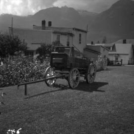
[1964?]
Part of David Davies Railway Collection
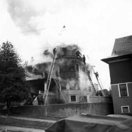
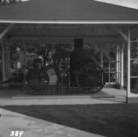
Photograph depicts a horse drawn steam fire engine on display at Grand Forks.