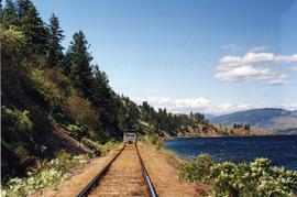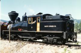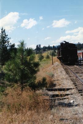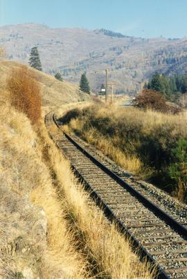
2013.6.36.1.112.04
·
Item
·
[29 June 2002]
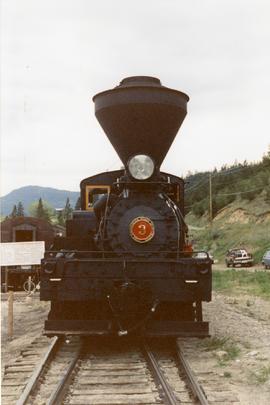
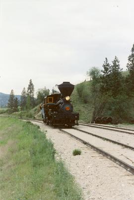
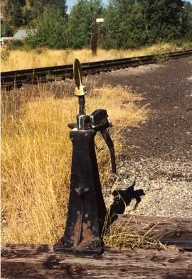
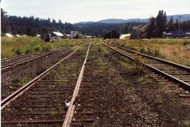
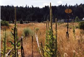
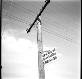
Part of David Davies Railway Collection
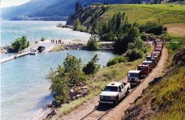
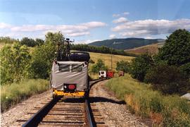
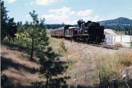
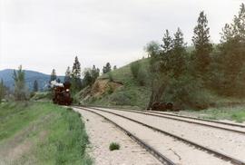
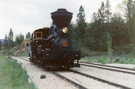
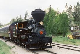
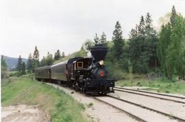
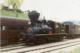
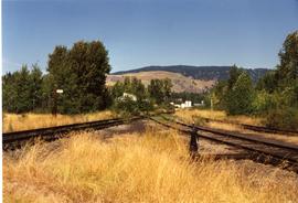
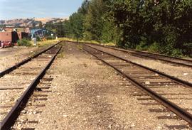
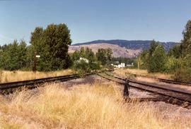
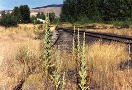
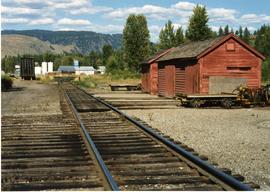
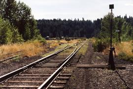
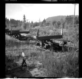
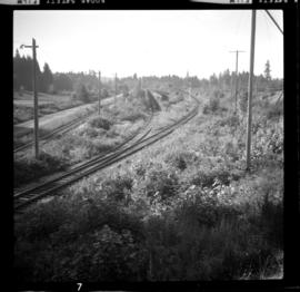
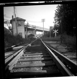
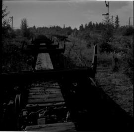
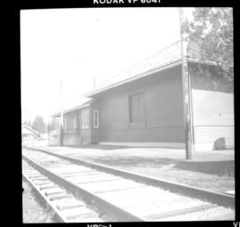
Photograph taken at the Kalamalka flag stop and siding that took up to 40 cars. A section house used to exist there, Davies notes. Virtually there was no public access in former days, so the siding was most likely used as a storage place for Kelowna fruit. A private speeder is found in the shadows on the main line.