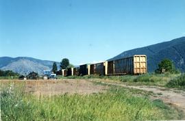
2013.6.36.1.143.03
·
Item
·
Oct. 2001
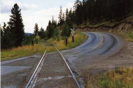
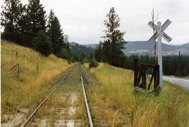
Part of David Davies Railway Collection
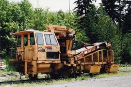
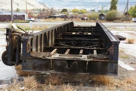
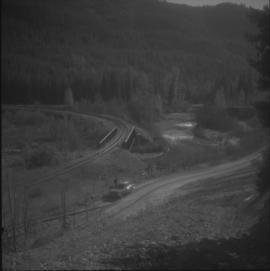
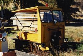
Photograph depicts a Fairmont speeder, lettered KVR, owned by Kettle Valley Steam Railway.