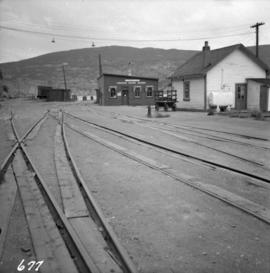
2013.6.36.1.053.37
·
Item
·
Aug. 1983
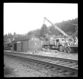
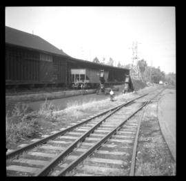
Part of David Davies Railway Collection
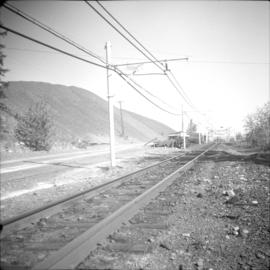
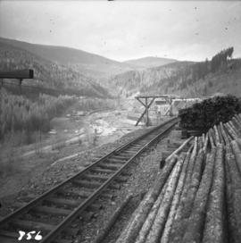
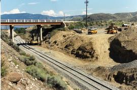
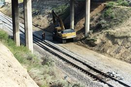
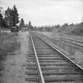
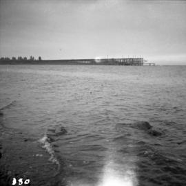
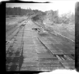
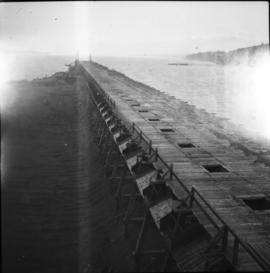
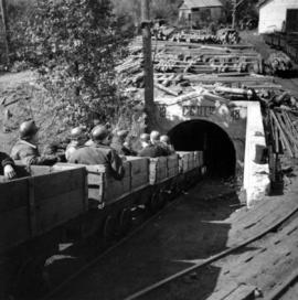
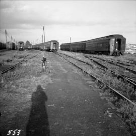
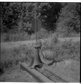
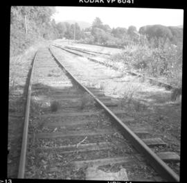
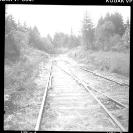
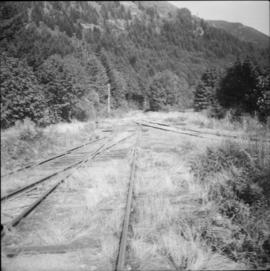
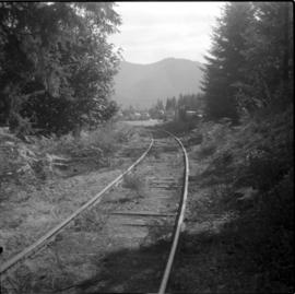
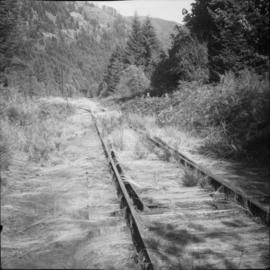
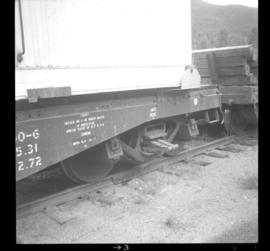
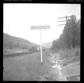
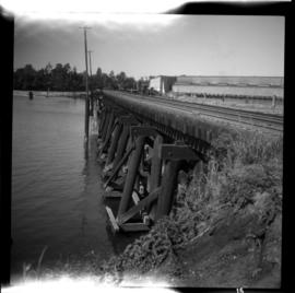
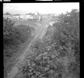
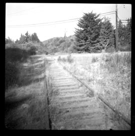
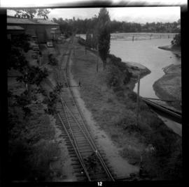
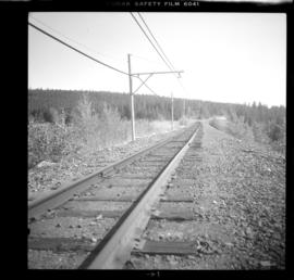
Photograph depicts 40 miles of trackage, of which 90% was located underground. It was owned by the Cominco Mine Railway of the private Sullivan Mine. The surface main line ran from the portal of the mine to a concentrator.