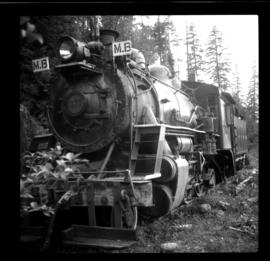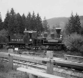
2013.6.36.1.062.04
·
Item
·
Aug. 1985
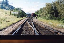
Part of David Davies Railway Collection
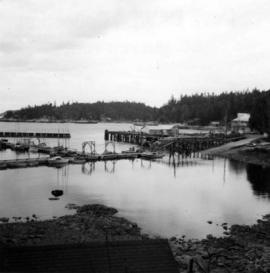
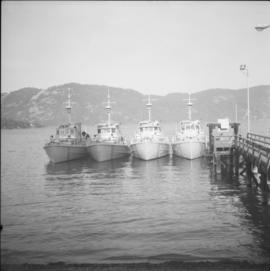
Photograph depicts four mine sweepers crewed by officer cadets from Royal Roads, Esquimalt.