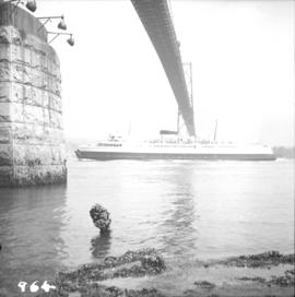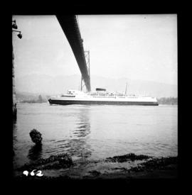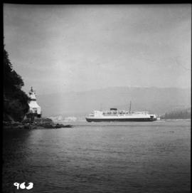
2013.6.36.1.013.48
·
Item
·
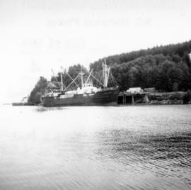
Aug. 1965
Part of David Davies Railway Collection
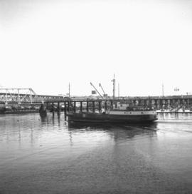
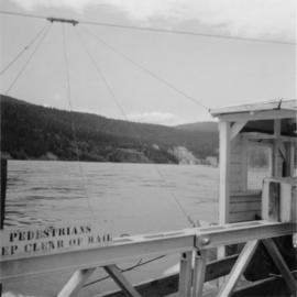
Photograph depicts the ship the "Princess of Vancouver" emerging westwards from the First Narrows in Vancouver.