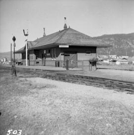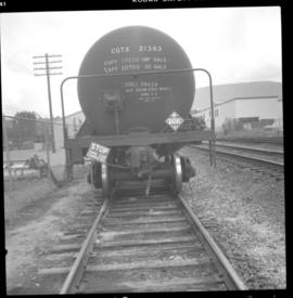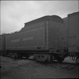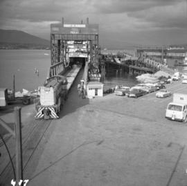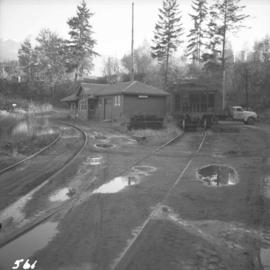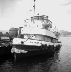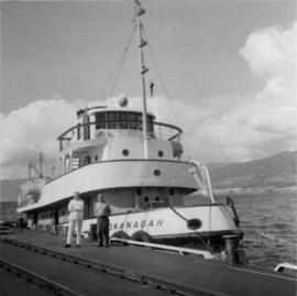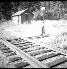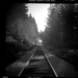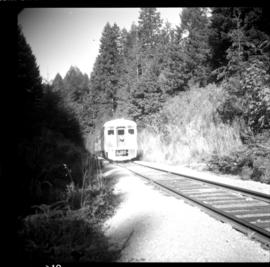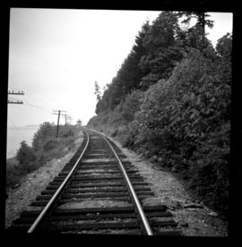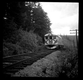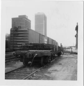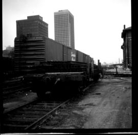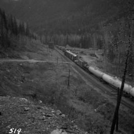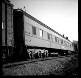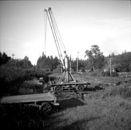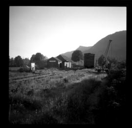
2013.6.36.1.007.044
·
Item
·
Sept. 1964
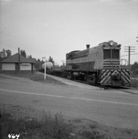
Part of David Davies Railway Collection
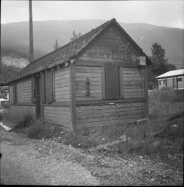
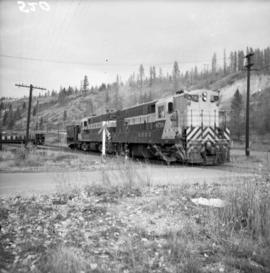
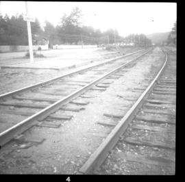
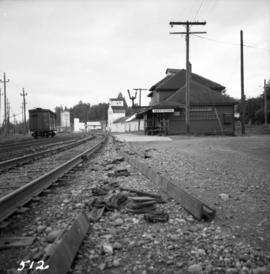
Photograph depicts the C.P.R. station in Abbotsford, looking south.