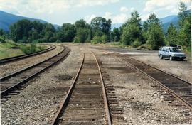
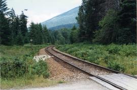
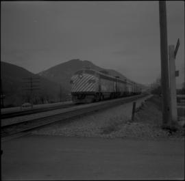
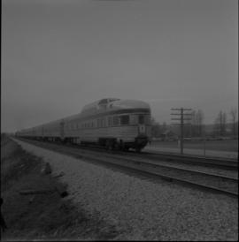
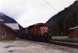
Photograph depicts the western portal of the 1916 Connaught Tunnel. The tunnel used to be double tracked, but was singled in the 1960s in orde to take piggy-back/container traffic. Curiously, the switch to the single was inside the tunnel.
Postcara depoiocts Connaught Tunnel in the Canadian Rockies.
Photograph depicts a steam grab belonging to the Vancouver Pile Driving & Contracting Co. Ltd, mounted on a scow and transferring gravel from another scow on the seaward side and rear of the wall. The portion in the foreground will become solid ground but it is now exposed to tides. The construction of the new pier is to the west of the Centennial Pier on the site of the original Hastings Mill.
Postcard depicts where steam and muscle were combined in the "blue" cut above the Patricia siding to help punch through the spiral tunnels to reduce an "impossible" 4.5% greade to a reasonable 2.4% in the Rogers Pass.
Photograph depicts a docked container ship in British Columbia.
Photograph depicts a former CPR grade of Copper Mountain. A spur at an Allenby concentrator was located on mile 5.6 from Princeton. Ore was first hauled on the track in October, 1920 as grading commeced in April, 1918. Track appeared to be in position, but little was it used unil 1956/1957, but then it was lifted.
Photograph depicts the corner building on West Georgia and Chilco St., facing Stanley Park in Vancouver B.C. View looking south across Georgia St.
Photograph depicts a corner building on Chilco and West Georgia St. facing Stanley Park in Vancouver, B.C. The view is looking east across Chilco St.
Photograph depicts the Courtenay terminus of the Esquimalt and Nanaimo Railway. The view is looking north.
Photograph depicts a courthouse at Revelstoke, B.C. that was built in 1912-1913.
Photograph depicts a courthouse in Richfield, 1 mile above Barkerville. It was the only building left standing of the former mining community.
Photograph depicts a courthouse in Vancouver, B.C. Photo shows the ripped up forecourt.
Photograph depicts a courthouse on Georgia St., looking west towards the Vancouver Hotel. The fence surrounding the courthouse is covered with paintings.
Photograph depicts a courthouse in Vancouver, B.C. Photo shows the ripped up forecourt.
Photograph depicts a courthouse on Howe St. in Vancouver, B.C. There are paintings on the fence surrounding the forecourt.
Photograph depicts a courthouse in Vancouver, B.C. surrounded by a fence with paintings.
Photograph taken at the Cowichan Valley Forest Museum.
Photograph taken at the Cowichan Valley Forest Museum near Sommos Lake in Duncan. Visible is a 2 truck shay owned by Gerry Wellburn. It was sited beside the Island Highway, at the entrance of the museum.
Photograph taken at the Cowichan Valley Forest Museum near Sommos Lake in Duncan.
Photograph taken at the Cowichan Valley Forest Museum.
File consists of documentary photographs taken by David Davies of CPR Huntingdon branch in British Columbia.
File consists of documentary photographs taken by David Davies of the CPR branch from Merritt/Nicola in British Columbia.
File consists of documentary photographs taken by David Davies of the CPR Osoyoos branch in British Columbia.
File consists of documentary photographs taken by David Davies of the CPR branch from Sicamous to Vernon in British Columbia.
Photograph depicts CPR delivering 4 tank cars at an interchange track on Home Street. Kamloops Heritage Railways was commencing to build its facilities on the north side of the interchange track.
Photograph depicts a fuel storage shed in Harrison Mills.
Photograph depicts the switcher in Grand Forks. When CPR abandoned this city on KYR, there was a need for local switching to BN branch line, so a private company was created. 10 of these switchers were built in 1950/51 for the CPR. This particular locomotive retured in 1989 and was sold to GFR in 1993.
File consists of documentary photographs taken by David Davies of the CP Kettle Valley Railway-Coquihalla branch in British Columbia.
File consists of documentary photographs taken by David Davies of the CP Kettle Valley Railway from Merritt to Princeton in British Columbia.
File consists of documentary photographs taken by David Davies of the CP Kettle Valley Railway from Penticton to McCulloch in British Columbia.
File consists of documentary photographs taken by David Davies of CPR Kettle Valley Railway line from Princeton to Penticton in British Columbia.
File consists of documentary photographs taken by David Davies of the CP Main Line in all areas, except Vancouver, in British Columbia.
File consists of documentary photographs taken by David Davies of the CP Main Line in Vancouver, British Columbia.
Photograph depicts the CPR Nelson Subdivision in Harrop.
Photograph depicts the CPR Nelson Subdivision in Procter. Located at a third of a mile spur to a barge slip. Its beginning is visible as a former switch site.
Photograph depicts the Nelson Subdivision in Procter. Until 1977, the rail/barge slip was used for lake traffic. All related facilities were removed. Track to slip located on the left. Rails were on existing spurs dated between 1898 and 1914.
Photograph depicts the CPR Nelson Subdivision in Procter. Passing siding rail dated 1954 as well as 1923. All Algoma Steel. The two spurs to the right usually only held work trains and ore rail of 1898-1914 vintage.
File consists of documentary photographs taken by David Davies of the Procter-Harrop area of the CPR Nelson Subdivision in British Columbia.
Photograph taken 20 miles east of Nelson at the Nelson Subdivision (Cranbrook to Nelson). The white substance near the track was a crude fill of some kind. Location was somewhere between Procter and Harrop.
Photograph depicts the C.P. pier in Vancouver. The ship "Chusan" is unloading cargo.
Photograph depicts the CP rail and the edge of the Homer St. warehouse complex in Vancouver. The view is looking northeast at the western end of Mainland St. The building is at #1152 Mainland St. The right hand track (man's shadow it) goes down Mainland and is in apparent use. The rail on the left hand track is dated 1938.
Photograph depicts the Hatzic Meadows crossing, east of Mission City in the Fraser Valley. It shows the westbound C.P. rail express running at 50-60 mph.
Photograph depicts CP rail interchange yards about 1/2 mile west of the city center of New Westminster. In the view is CP baggage car #272046 made by the Canadian Car Co. It is now in use as a horse box with end loading.
Photograph depicts the CP rail in the False Creek area in Vancouver. It is between Beatty and Cambie Streets with Smithe St. crossing from left to right in the foreground. The photo includes an insulated box car of the Southern Pacific Railway, #SP 67343, built in 1961. The track at the right is physically usable but is unused.
Photograph depicts the CP rail track beside Burrard Inlet, approximately parallel with Simon Fraser University. It shows the rear view of the eastbound "Canadian" at about 7 pm.
Photograph depicts CPR service flanger #400572 at Cranbrook. It was built in 1930.
Photograph depicts a CPR swing bridge in Harrison Mills. Looking east, towards Kilby Store. Swing section in the foreground. It was rarely used.
Photograph depicts a CPR swing bridge in Harrison Mills. Taken on the downstream side of Harrison River.