2013.6.36.1.071.07
·
Item
·
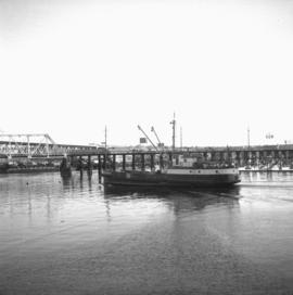
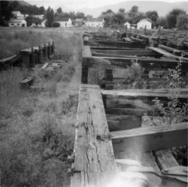
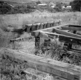
[July 1966]
Part of David Davies Railway Collection
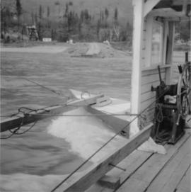
Photograph depicts the Soda Creek reaction ferry. A ferry was sited between Soda Creek and Marguerite. The reaction ferry in Soda Creek itself had been abandoned for some time.