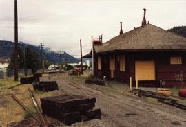
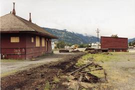
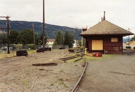
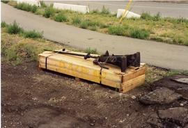
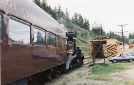
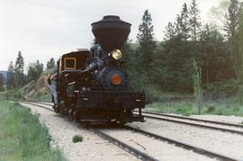
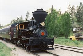
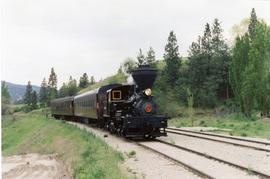
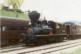
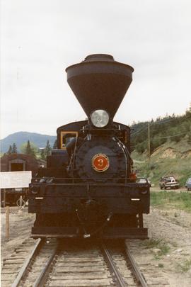
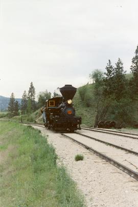
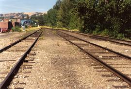
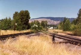
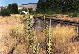
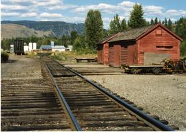
2013.6.36.1.124.20
·
Item
·
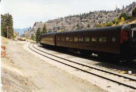
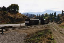
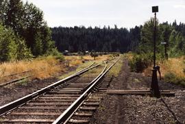
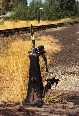
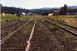
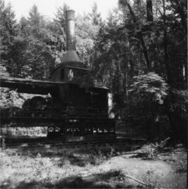
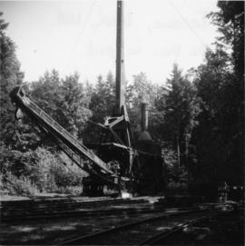
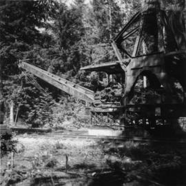
[June 1996]
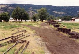
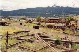
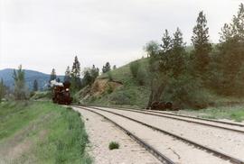
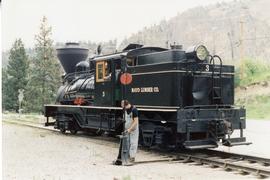
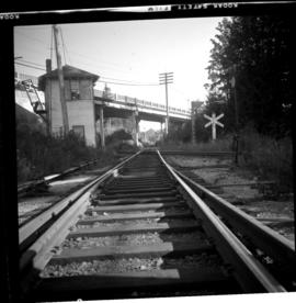
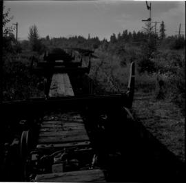
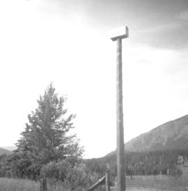
Part of David Davies Railway Collection
Photograph depicts a train that was reconditioned at the Forestry Museum in Duncan in 1995/6. At that location, Davies had seen its fire box being rebricked.