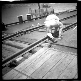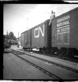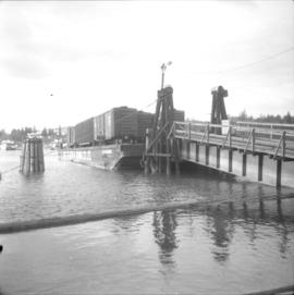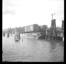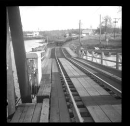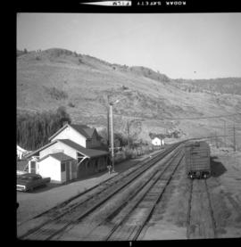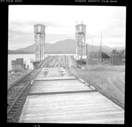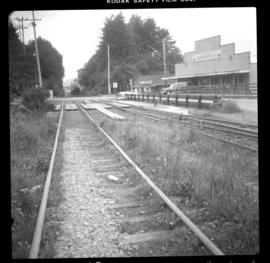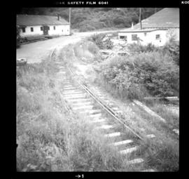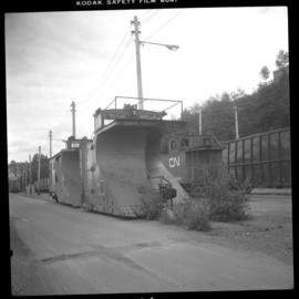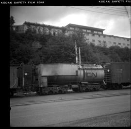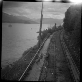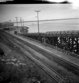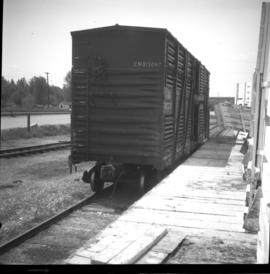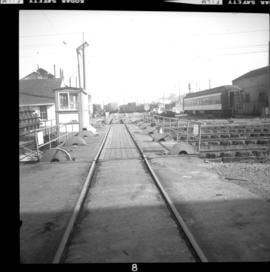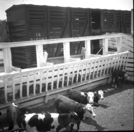
2013.6.36.1.022.03
·
Item
·
[22 July 1968]
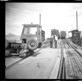
Part of David Davies Railway Collection
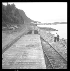
Photograph depicts a CNR slip in Penticton on Okanagan Lake. The two gentleman are conferring as to where the cars are to be switched.