2013.6.36.1.068.27
·
Item
·
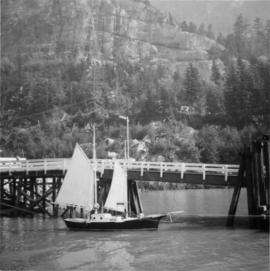
Sept. 1966
Part of David Davies Railway Collection
Photograph depicts a gaff rigged schooner. Its sails were apparently set to dry them. No one was aboard and the vessel was securely moored. Davies notes that it was an unusual sailing rig for the area.