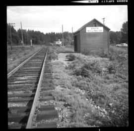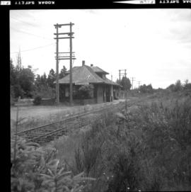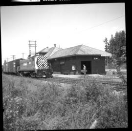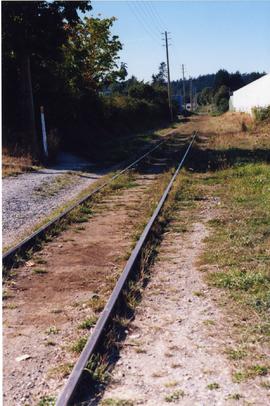
2013.6.36.1.149.24
·
Item
·
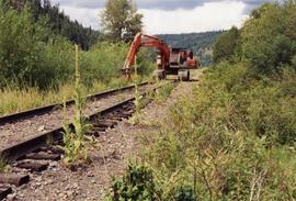
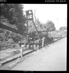
10 Aug. 1991
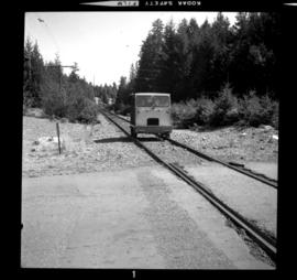
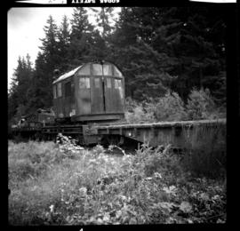
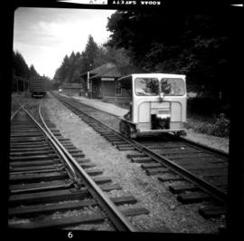
Part of David Davies Railway Collection
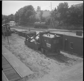
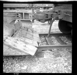
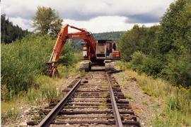
Photograph depicts an excavator fitted with magnets that lift rails to the track side. It also put ties and fish plate as well as bolts in a heap, visible on the right.