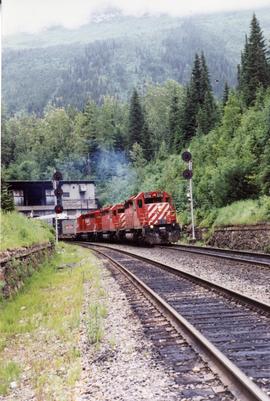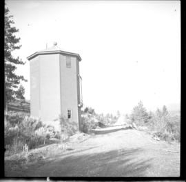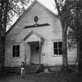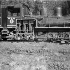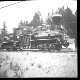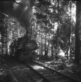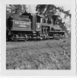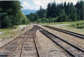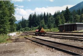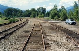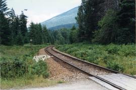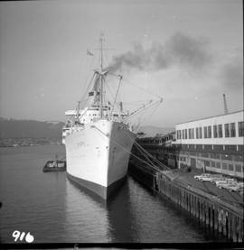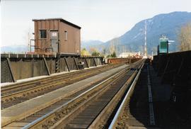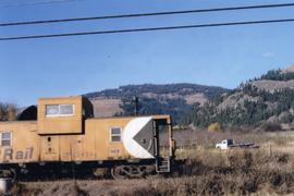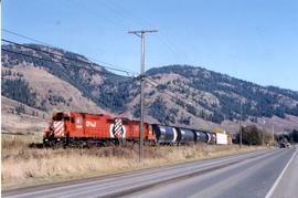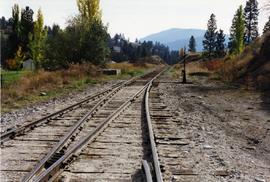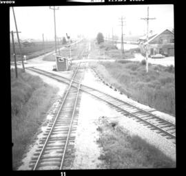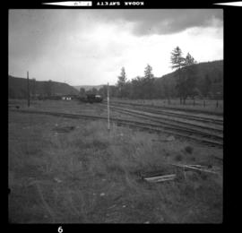
2013.6.36.1.141.01
·
Item
·
[28 Apr. 2006]
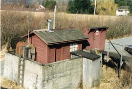
Part of David Davies Railway Collection
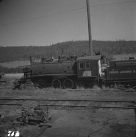
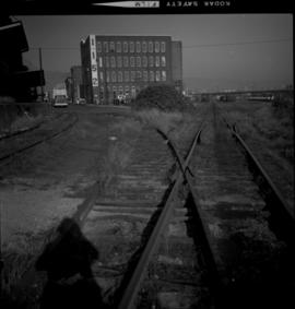
Photograph depicts the former Comox Logging Railway headquarters.