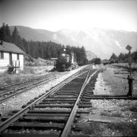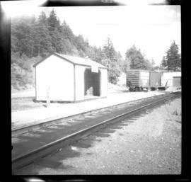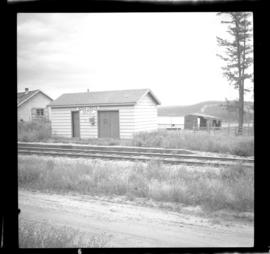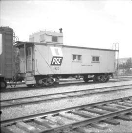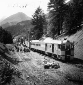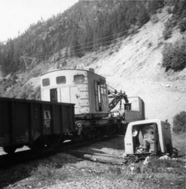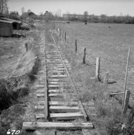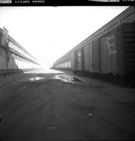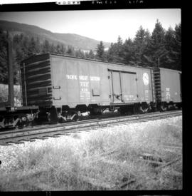
2013.6.36.1.046.13
·
Item
·
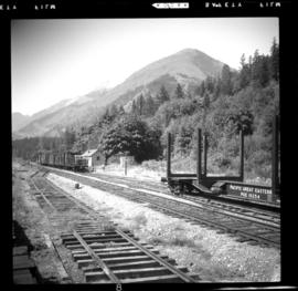
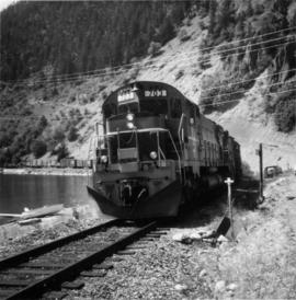
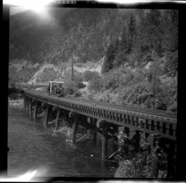
Aug. 1969
Part of David Davies Railway Collection
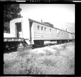
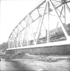
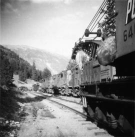
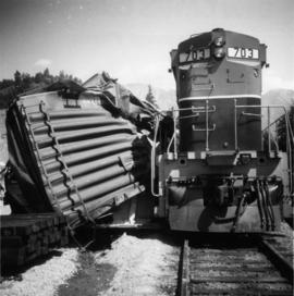
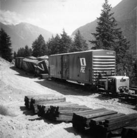
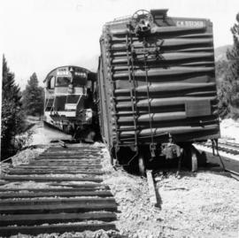
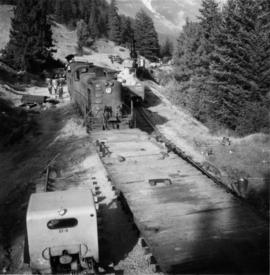
Photograph depicts a refrigerator car that was built in 1956. Davies notes that it was unusual, but not rare to see an old type of logo on the revenue cars. The car was used to transport weekly groceries on way freight northwards out of Vancouver to places such as Seton Portage with one store in the village.