Postcard depicts Illecillewaet Glacier from the Railway. "One of the chief attractions for tourists is the Illecillewaet Glacier, and, while not the largest in the Canadian Rockies, it is the most accessible and in every way representative of these most interesting natural phenomena. A trip across its face leaves a lasting impression on one's memory. The Illecillewaet River takes its rise from the great glacier of the Selkirks."
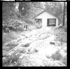
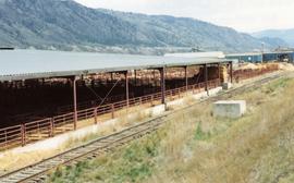
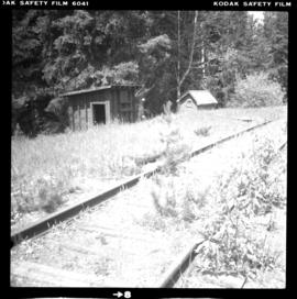
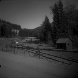
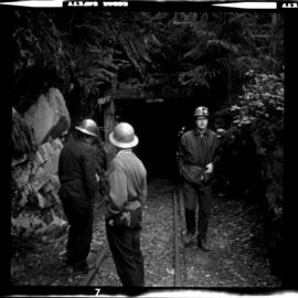
Photograph depicts a railway that was used to haul fire clay from a horizontal drift mine. The track on the left-hand side, behind the camera, led to a garage type of structure that held dismantled battery operated electric locomotives made by General Electric.
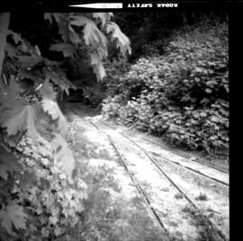
Photograph depicts a railway hauling fire clay from a horizontal drift mine. The line was disused, but not derelict.
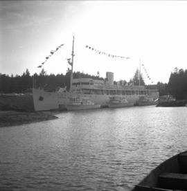
Photograph depicts the "Canadian Princess" at permenant mooring as a restaurant, in Ucluelet.
File consists of a publication edited by Omer Lavallee entitled "Canadian Pacific Railway Diagrams and Data: Steam Locomotives".
Map depicts passenger routes on the Canadian Pacific Railway and its connecting lines in 1925.
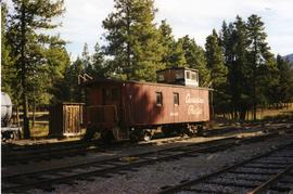
Photograph depicts a Canadian Pacific caboose in Fort Steele.
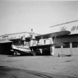
Photograph depicts an apron opposite a CPA main hanger.
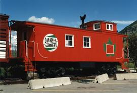
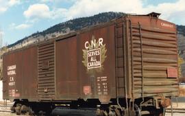
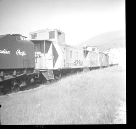
Photograph depicts a Canadian Nrothern caboose on display at an Esso Kamloops
File consists of a publication by Anthony Clegg and Ray Corley entitled "Canadian National Steam Power".
File consists of a folder containing photo information sheets that describe types of locomotive power operated by the Canadian National Railways.
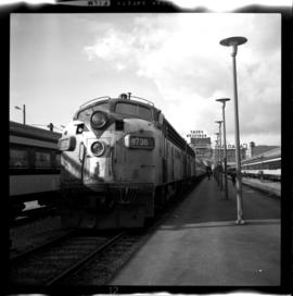
Photograph depicts the Burlington-Northern Railroad (USA), formerly the Great Northern Railway. Visible are two GN locomotives leading the last passenger train out of Vancouver on the Vancouver-Seattle-Vancouver run.
Map depicts the CNR system in Canada and the United States and all of its connecting lines, including the Central Vermont Railway, the Grand Trunk Western Railroad, and the Duluth Winnipeg & Pacific Railway.
Map depicts the Canadian National Railway system, including trackage for the Central Vermont Railway, the Detroit & Toledo Shore Line Railroad, the Grand Trunk Western Railroad, the Duluth Winnipeg & Pacific Railway, and the Northern Alberta Railway.
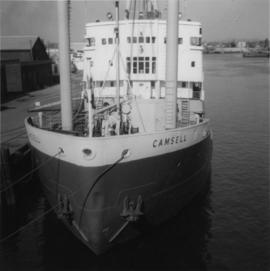
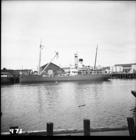
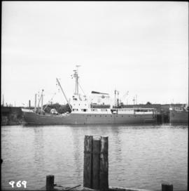
Photograph depicts a Canadian Coastguard vessel called "Camsell" at the Canadian Coastgaurd wharf in Upper Harbour, Victoria.
Photograph depicts the Canadian Coast Guard ship "Estevan" in the Upper Harbour at Victoria.
Photograph depicts the Canadian Coast Guard ship "Camsell" in Upper Harbour, Victoria.
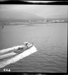
Photograph depicts the Canadian Coast Guard rescue launch "Moorhen" or "Mallard."
Map depicts Canadian railways in operation at 2011.
Photograph taken at the Campbell Creek Industrial Park in Kamloops. Depicts the CNR end of head shunt. The connection with the Okanagan Branch is found in the middle distance.
Photograph taken at the Campbell Creek Industrial Park in Kamloops. Visible CNR track was to be inactive by August 1998.
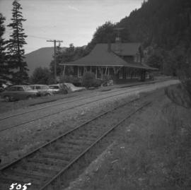
Photograph depicts the Cameron Lake station on the Alberni branch of the Esquimalt and Nanaimo Railway on Vancouver Island. It is no longer used but has been converted to a lodge. The view is looking west.
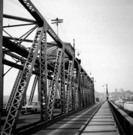
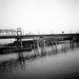
Photograph depicts the Cambie St. Bridge in Vancouver, BC, looking east and showing the north fixed span of the bridge.
Photograph depicts the Cambie St. Bridge in Vancouver, BC, showing the west side and view facing south.
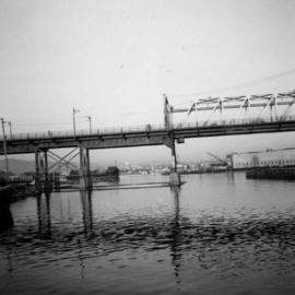
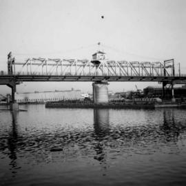
Photograph depicts the Cambie St. Bridge in Vancouver, BC, looking east and showing the central swing span.
Photograph depicts the Cambie St. Bridge in Vancouver, BC, looking southeast and showing the southern fixed span on the bridge.
Postcard depicts a cairn "marking the spot where Canadian Pacific Railway was completed on November 7th, 1885. Twenty-eight miles west of Revelstoke, BC"
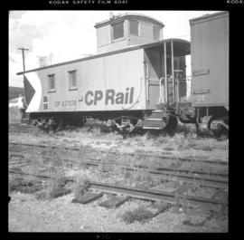
Photograph depicts a line of CPR cabooses and work cars at Nelson. The foremost is #437374 and was built in September, 1948.
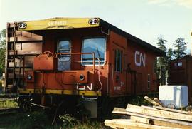
Photograph depicts a caboose used as a mobile "Maintenance of Way" office. It was a transfer yard caboose built in Montreal in 1977-8. Made into a series of which all except two had been put to other uses since 1991-2.
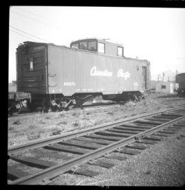
Photograph depicts a wooden-sided caboose, CPR #43708, arch bar trucks. It was built in September 1943 and may have been part of a wreck train.
Photograph depicts CPR caboose #400572 at Cranbrook. It is an older style caboose with older style lettering.
Photograph depicts a caboose that was formerly part of KVR and was on its way to Grand Forks. It now only went 3 miles to the Canadian Cellulose pulp mill in Kraft.
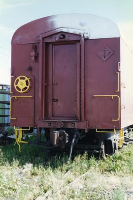
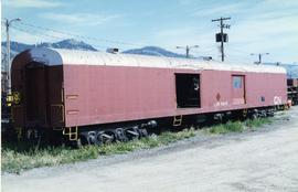
Photograph depicts the end view of a cable/hose car.
Photograph depicts a cable/hose car (work car) that was not part of the Kamloops Auxiliary.
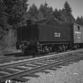
Photograph depicts a C.P.R. fire car (extender) on the Esquimalt and Nanaimo Railway at Parksville, B.C. on Vancouver Island.
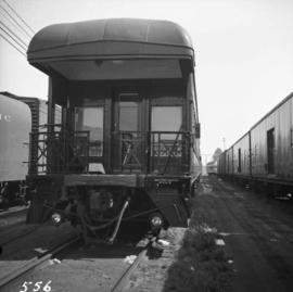
Photograph depicts the business car "Van Horne" at the C.P.R. False Creek yard in Vancouver, B.C. It is not numbered.
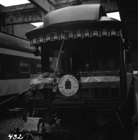
Photograph depicts the business car "British Columbia" (ex. C.P.R.) at the C.N. station in Vancouver. It is tailing the special to Hope, on its first run since acquisition by the West Coast Railway Association.
Photograph depicts a self-propelled rail barge.
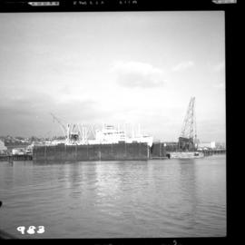
Photograph depicts the Burrard Dry Dock Co. Ltd. on the North Shore in Vancouver. There is a freighter in dock #2.
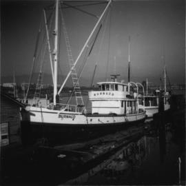
Photograph depicts boat named "Burnaco."
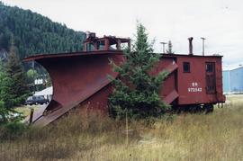
Photograph depicts a BN snow plow in Fruitvale.
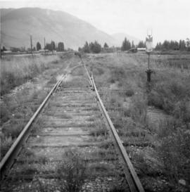
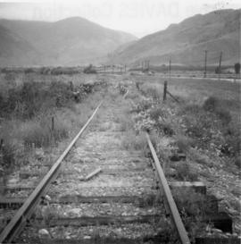
Photograph depicts disused, but perhaps not legally abandoned, track 2 miles south of Keremeos on the old Keremeos branch. The track was broken in several places and fences were also erected across its length.
Photograph depicts a disued or abandoned track 2 miles south of Keremeos. Tracks was broken at one bridge and at least one cover was as well. Fences were erected across it.
Photograph depicts a possible storage and coal shed, and toilets located on the west side of track about a quarter mile north of the McCulloch depot building. McCulloch depot is located at mile 76.6 on the Carmi Subdivision.
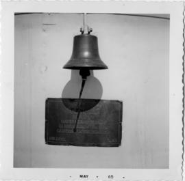
Photograph depicts the builder's plaque of the C.N.R. S.S. Canora.
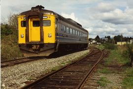
Photograph depicts a southbound Budd car on Esquimalt & Nanaimo Railway (CPR) track.
Photograph depicts Brodie Junction on the CPR Spences Bridge to Princeton line, located at mile 65.2 from Spences Bridge. The former northbound connector of the Coquihalla line (Hope to Brodie) is in the right foreground but it's not a dead-end spur of 200 yards in length. The mainline makes an 180 degree loop at this point. The tracks in the left rear of the photo lead to Merritt. The elevation is 3025 ft.
Map depicts railways in British Columbia, with insets for the Lower Mainland and the Kootenays.
Government map depicts railway lands, lands "disposed of", grazing leases, and timber berths. Shows the British Columbia 'railway belt' running from Greater Vancouver to Field, B.C.
Photograph depicts a dead end 100 yard tunnel beyond the ore bins in Britannia Beach. Davies notes that it was easier to tunnel than to make a track shelf.
