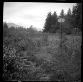
2013.6.36.1.026.01
·
Item
·
[22 June 1979]
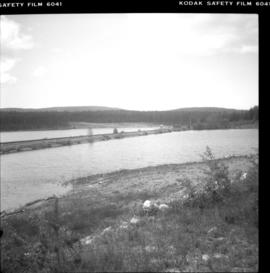
Part of David Davies Railway Collection
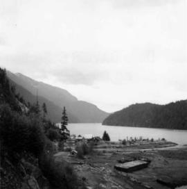
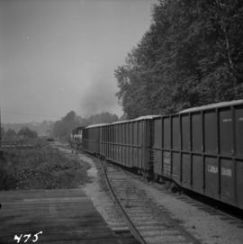
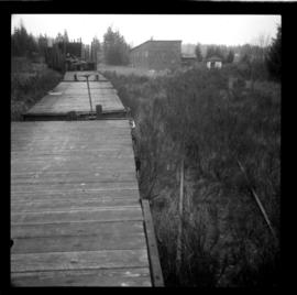
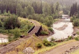
Photograph depicts an embankment across the inlet of Hydraulic Lake on the CPR line. This a the south end of the McCulloch depot and you can see the buildings in the distance. It is located at mile 76.5 on the Carmi Subdivision, about 27 miles northeast of Penticton.