2013.6.36.1.084.03
·
Item
·
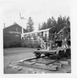
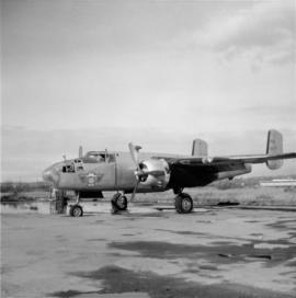
2 Nov. 1968
Part of David Davies Railway Collection
Photograph depicts a former RCAF that is not airworthy. Its interior was in shambles.