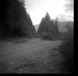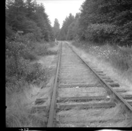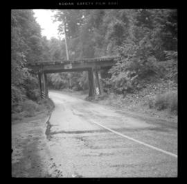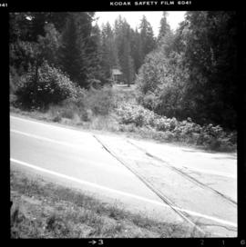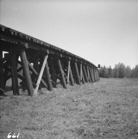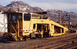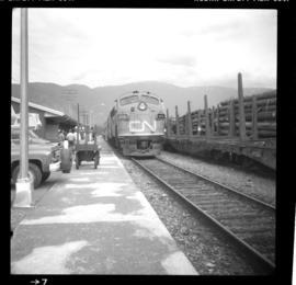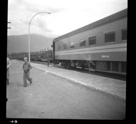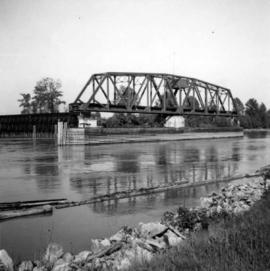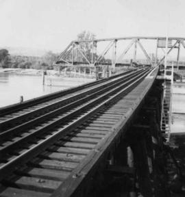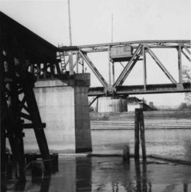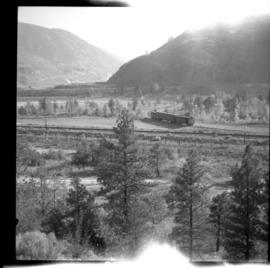
2013.6.36.1.044.15
·
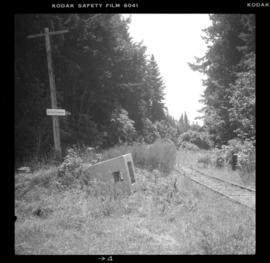
Item
·
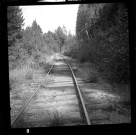
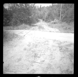
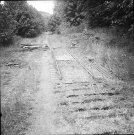
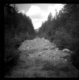
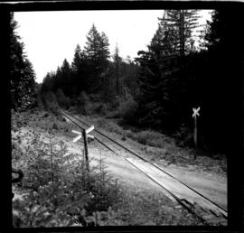
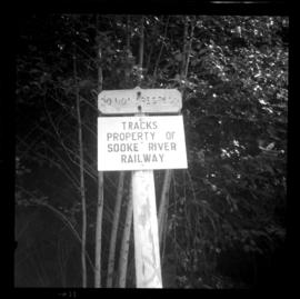
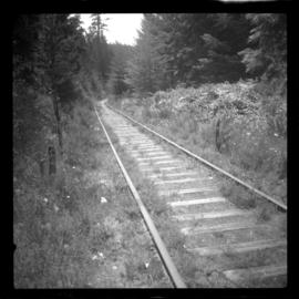
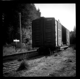
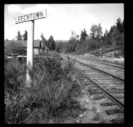
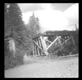
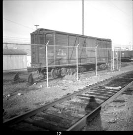
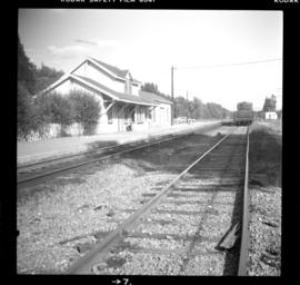
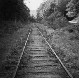
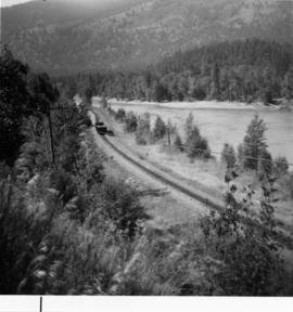
Aug. 1979
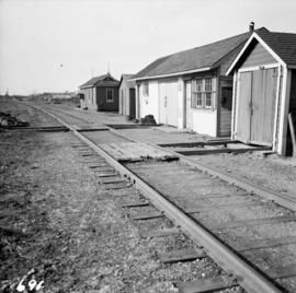
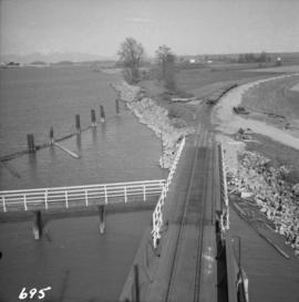
Part of David Davies Railway Collection
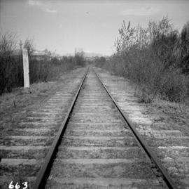
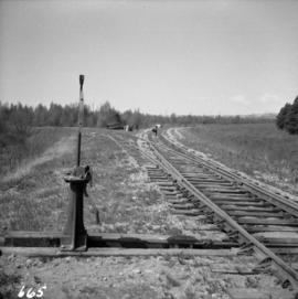
Photograph taken in the Cowichan Subdivision at Metchosin on mile 14.8 from Victoria.