2013.6.36.1.051.34
·
Item
·
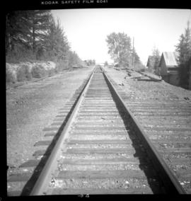
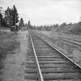
Apr. 1969
Part of David Davies Railway Collection
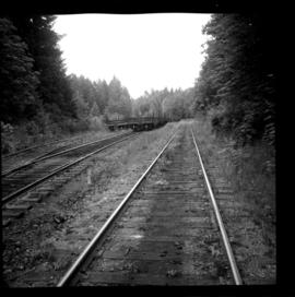
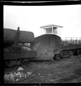
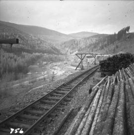
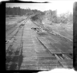
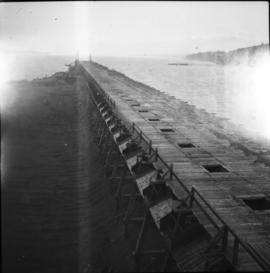
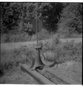
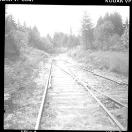
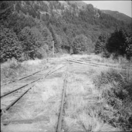
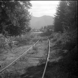
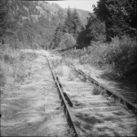
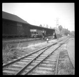
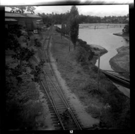
Photograph depicts the lower part of the Ladysmith yard, adjacent to a log pond. A semaphore signal was activated by the tide and indicated to the engineer of the log train the suitable depth for offloading logs from the cars.