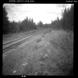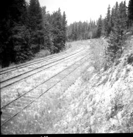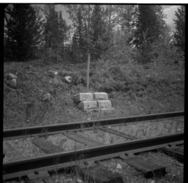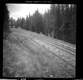
2013.6.36.1.026.07
·
Item
·
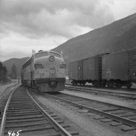
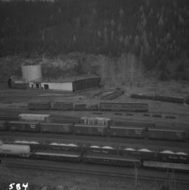
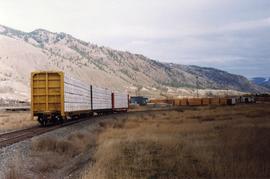
[22 June 1979]
Part of David Davies Railway Collection
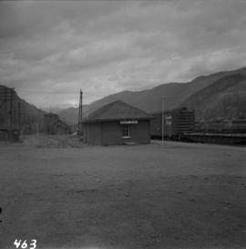
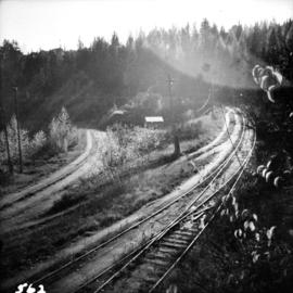
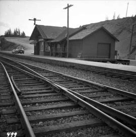
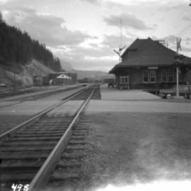
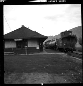
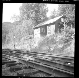
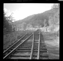
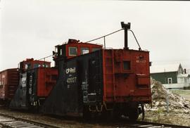
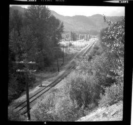
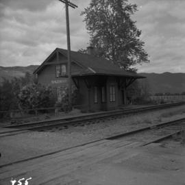
Photograph depicts the CPR trackage north of McCulloch depot. The west track is passing, the mid is mainline, and the east track is storage. The depot is located at mile 76.6 on the Carmi Subdivision, about 27 miles northeast of Penticton.