2013.6.36.1.102.10
·
Item
·
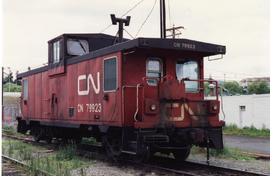
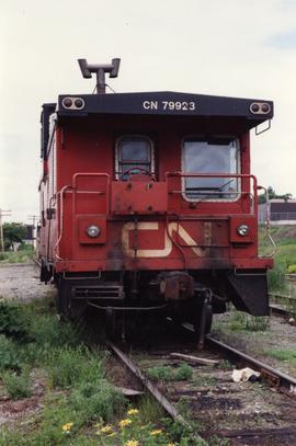
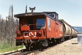
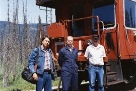
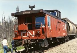
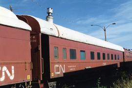
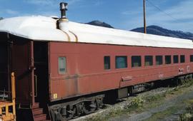
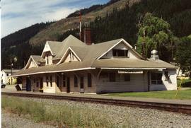
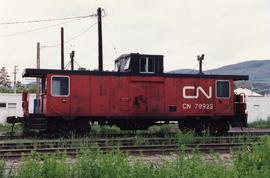
[July 1990]
Part of David Davies Railway Collection
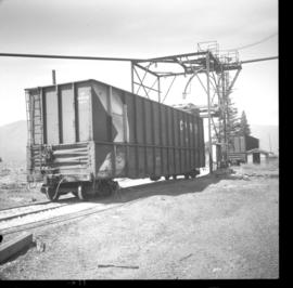
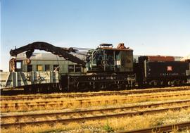
Photograph depicts a CN caboose at an unknown location.