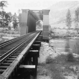
2013.6.36.3.08.29
·
Item
·
[before 1949]
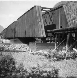
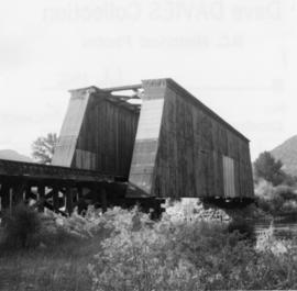
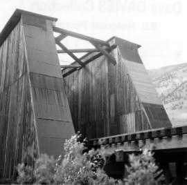
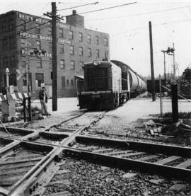
Part of David Davies Railway Collection
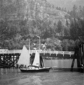
Postcard depicts Fraser Canyon in the Rocky Mountains of western Canada.