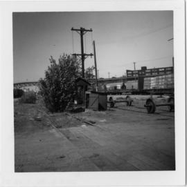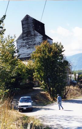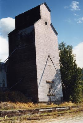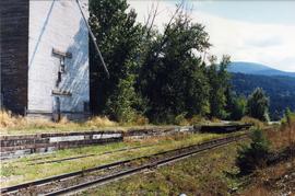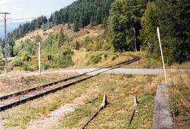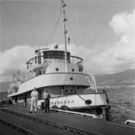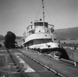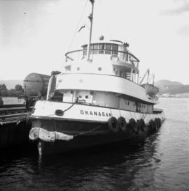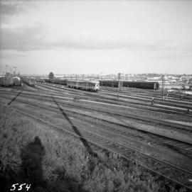
2013.6.36.1.007.086
·
Item
·
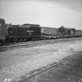
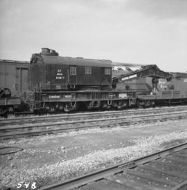
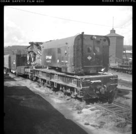
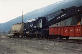
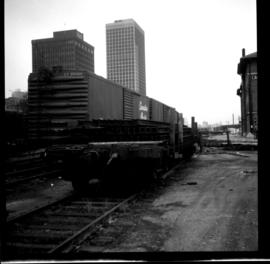
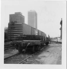
[May 1965]
Part of David Davies Railway Collection
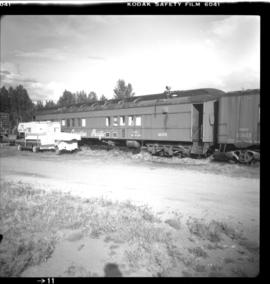
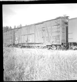
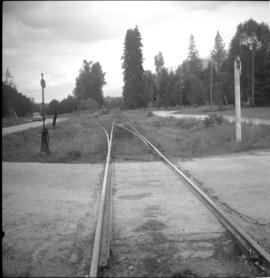
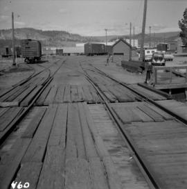
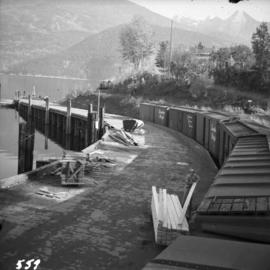
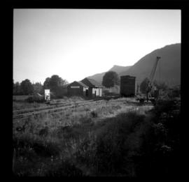
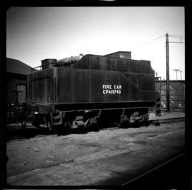
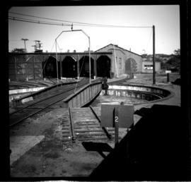
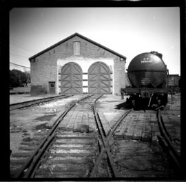
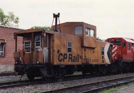
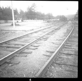
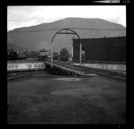
Photograph depicts a general view of the C.P.R. yards at False Creek in Vancouver, B.C.