2013.6.36.3.06.03
·
Item
·
[before 1949]
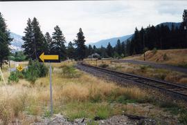
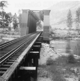
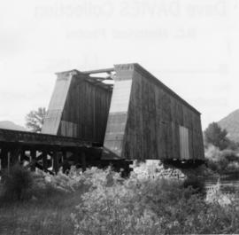
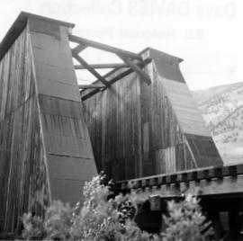
Part of David Davies Railway Collection
Postcard depicts Glacier House and Great Glacier House built in 1886 as one of three similar hotels, the other two being Mt. Stephen House in Field, and Fraser Canyon Hotel in North Bend. Business fell off rapidly in 1916 when tracks were relocated into a new tunnel. Buildings were demolished in 1930.