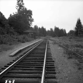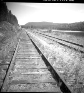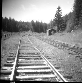
2013.6.36.1.018.06
·
Item
·
1 Aug. 1981
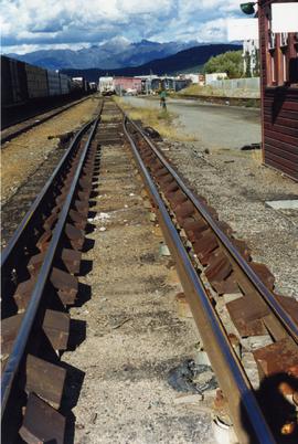
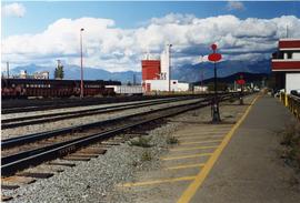
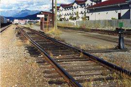
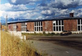
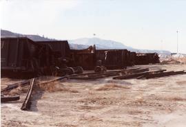
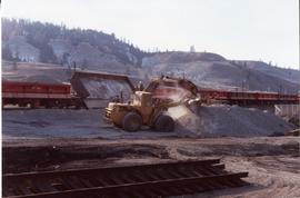
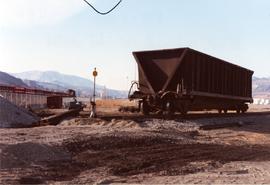
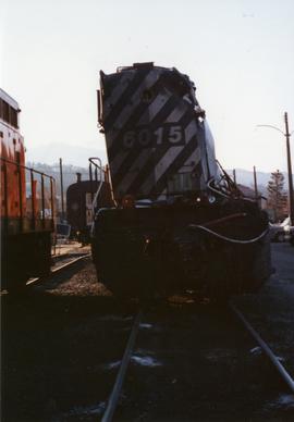
Part of David Davies Railway Collection
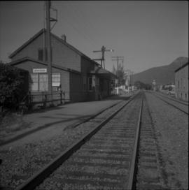
Photograph depicts the CPR depot at Armstrong. It is located about mile 32 from Sicamous on the Okanagan Subdivision. The view is looking south.