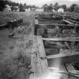
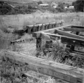
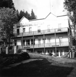
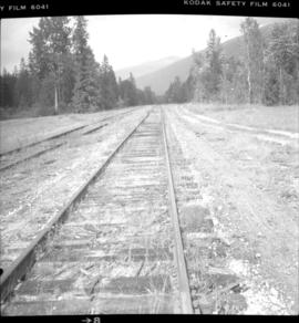
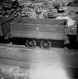
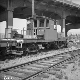
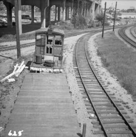
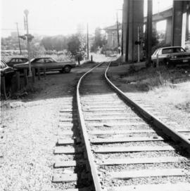
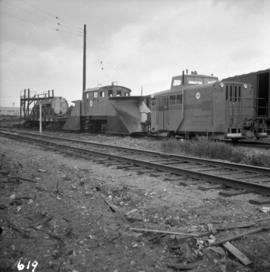
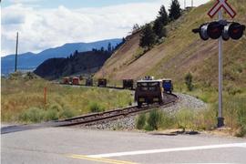
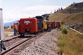
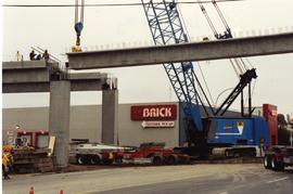
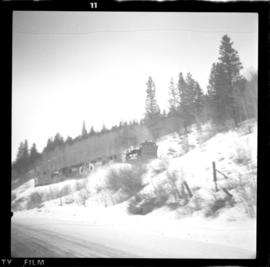
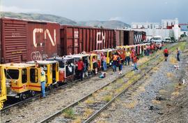
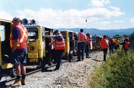
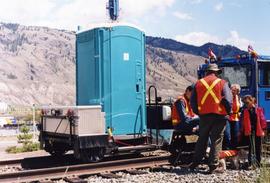
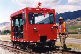
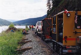
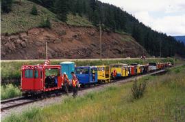
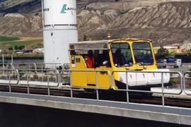
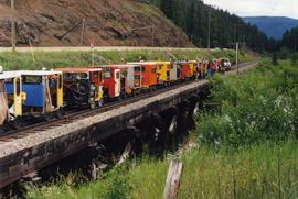
Photograph depicts Sky Train track being extended into Surrey.
Photograph depicts the general view of a slipway that was used for pulling stormwheelers out of the water. It had 5 sets of ways.
Photograph depicts the Silver Ledge Hotel, Ainsworth Hot Springs, on the west side of Kootenay Lake, north of Nelson.
Photograph depicts what is thought to be the Slocan branch line, near Passinae which is at mile 10.8 gtom south Slocan. This is at the point where the rail road and river lie close together. Approximately 20 miles west of Nelson.
Photograph depicts the sluice gates off the Nicola River, on a ranch at Nicola village, 7 miles northeast of Merritt.
Photograph depicts sluicing monitors that were used to tear down and break up alluvial gold bearing material.
Photograph depicts a small barn that had just been built within the last 12 months.
Photograph depicts a small water proofed car, fitted with mops.
Photograph depicts a small coal drift mine which worked perhaps 6 months prior to the picture being taken. Timber lands # 8, Cranberry, about 17 miles south of Nanaimo.
Photograph depicts a small coal tram at Tsable coal pit near Fanny Bay on Vancouver Island.
Photograph depicts a small coaster.
Photograph depicts a small sawmill on the Old Yale Rd., near the intersection of Robson Rd. in South Westminster, Surrey.
Photograph depicts snowplow #S103, which was an ex-electric stock, stored at the Kitsilano Workshop yards in Vancouver. It was converted from electric locomotive #952 built by 1911 by the B.C. Electric Railway and rebuilt in 1937.
Photograph depicts the interior of a snow shed at about mile 29.0 using CPR mileages commencing at Brookmere, which is 4 miles east of Brookmere. It is on the ex CPR Coquihalla Line from Hope to Brodie Junction.
Photograph depicts the remains of show sheds on the ex CPR Coquihalla Line on the Kettle Valley Railway. They are in the vicinity of the Romeo depot, at about mile 23 or 24 from Brookmere.
Photograph depicts a snowplow extra on the CPR line at Kingsvale, on the Princeton Subdivision at about mile 119. The snowplow extra was running south from Merritt with a plough, 2 locomotives and a caboose. Towards Brookmere summit the snow was 9 to 12 inches deep.
Photograph depicts two of the three snowplows in stationed din the CPR Penticton yard.
Photograph depicts the Soda Creek reaction ferry.
Photograph depicts the Soda Creek reaction ferry. A ferry was sited between Soda Creek and Marguerite. The reaction ferry in Soda Creek itself had been abandoned for some time.
Photograph depicts the south shore line of the B.C. Electric Railway in False Creek, Vancouver. B.C. Hydro operated it, if not owned it. The location was directly opposite from Granville Island.
Photograph depicts the South Slocan Junction at mile 11.9 on the CPR line on the Nelson Boundary Subdivision. It closed as an agency in June 1969 but the telegrapher still maintained it. Three to four freights pass per day on the main line: 2 to Trail, 1 to Castlegar pulp mill, and 1 every other day to Midway. On the branch there is 1 train per week to Nakusp that leaves Nelson on Monday, arrives in Nakusp on Tuesday, and returns to Nelson on Wednesday. The view is looking east.
Photograph taken at the east end of False Creek, looking south towarsd Quebec and Ontario Streets.
Photograph depicts special equipment opposite a car barn of the B.C. Electric Railway, at New Westminster.
Photograph depicts a speeder labelled "Rio Grande."
Photograph depicts a CN speeder.
Photograph depicts a speeder labelled "Union Pacific."
Photograph depicts a speeder at a B.C. speeder meet.
Photograph depicts a speeder car.
Photograph depicts a CN speeder.
Photograph depicts a lunch stop at Oyama for the speeder meet. These speeders were Fairmont MT 19.
Photograph depicts a speeder meet of "Motor Car Operators West" enthusiasts. Comprised of 25 cars. All taking part in a weekend tour of the Okanagan. On this day, they were going from Vernon to Lumby and Kelowna. Cars were getting ready to depart at the yard of the Kelowna Pacific Railway in Vernon. The cars were headed south to be preceeded by hi-rail of the KPR.
Photograph taken on the outskirts of Kelowna, in an industrial area about 2 miles north of a branch terminal. The turn around point for all 25 speeders was done on a black-topped, little used public grade crossing.
Photograph depicts a speeder meet along the Okanagan line. As trips started and finished in places that had no washrooms, this mobile porto-potty came along and met definite needs.
Photograph taken at a speeder meet. Davies had ridden in this deluxe vehicle for the whole way along the Okanagan line. Margaret Hope, an organizer of the B.C. segment of a three week tour, mentioned that her husband designed and built the machine.
Photograph depicts a speeder meet. People were taking a rest break at the north end of Monte Lake.
Photograph depicts a speeder meet while on a B.C. run from Armstrong to Campbell Creek Junction and back again. About 25 cars were at the south end of Monte Lake.
Photograph depicts a speeder meet at the Campbell Creek Junction. Visible is a large home-built version.
Photograph depicts a speeder meet while on a B.C. run from Armstrong to Campbell Creek Junction and back again.
Photograph depicts a speeder meet of about 25 vehicles. They were leaving the overpass at Campbell Creek Junction for return back to Armstrong.
Photograph depicts a speeder meet at the Campbell Creek Junction. All speeders, consisting of 25, had just turned around and were ready to go south to Armstrong.
Photograph depicts a speeder at the edge of the East Fork Canyon Bridge over Klo Creek. This is located at mile 86.5 on the CPR Kettle Valley Railway in Myra Canyon. The view is looking north.
Photograph depicts Spences Bridge on the Thompson River and the only surviving pier of the earlier Spences' Bridge. View looking at east bank.
Photograph depicts a Sperry Rail service car #136 at the Penticton C.P.R. depot. It is for detecting faulty or broken rails and visits the area once a year. It is moving off to start work at mile 34 west of Penticton.
Photograph depicts a Sperry Rail service car #136 at the Penticton C.P.R. depot. Note the larger bogie on the right hand bogie which accommodates detection gear. It is being serviced before moving to an area west of Penticton.
Photograph depicts the Sperry Rail service car at the C.P.R. Penticton depot, just moving off to the west.