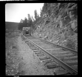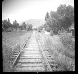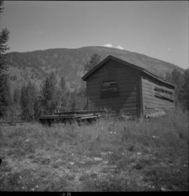
2013.6.36.1.028.35
·
Item
·
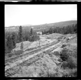
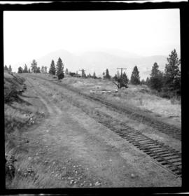
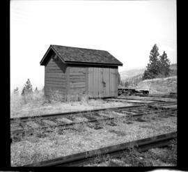
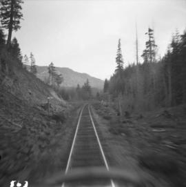
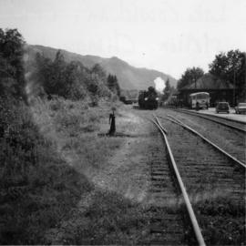
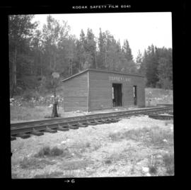
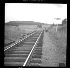
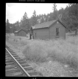
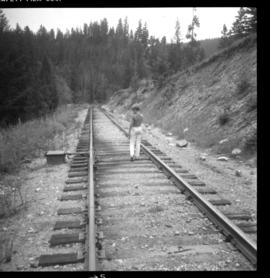
Aug. 1983
Part of David Davies Railway Collection
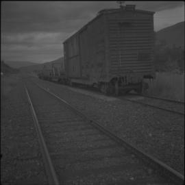
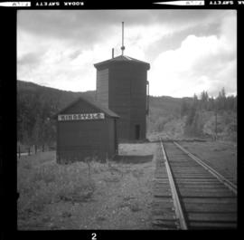
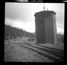
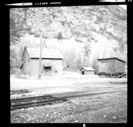
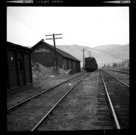
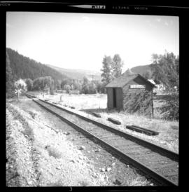
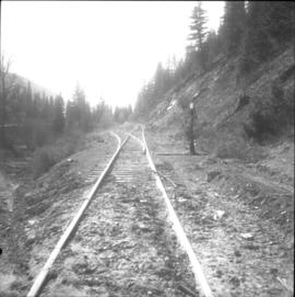
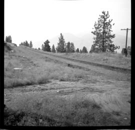
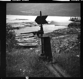
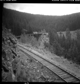
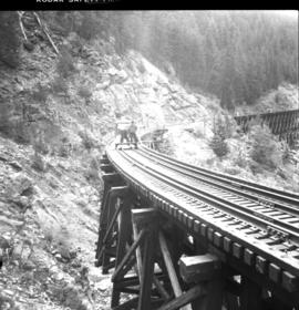
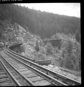
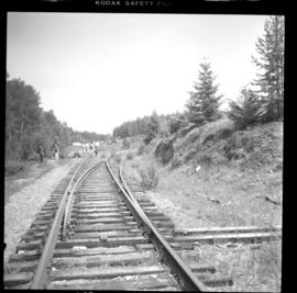
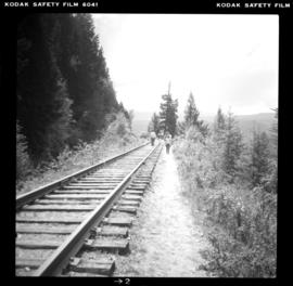
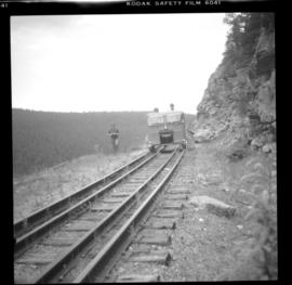
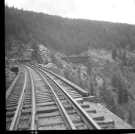
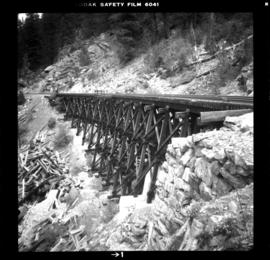
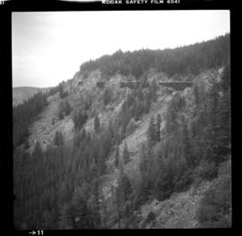
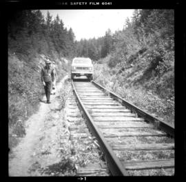
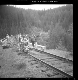
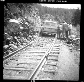
Photograph depicts the CPR line at McConnell, BC, which is located at mile 55 on the Nelson Subdivision and 12 miles east of Creston. The view includes the signalman's shanty, which is still in occasional use.