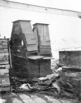
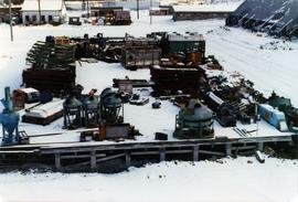
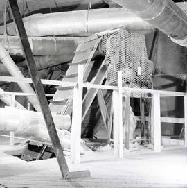
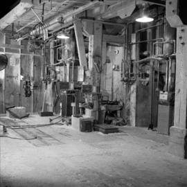
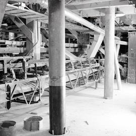
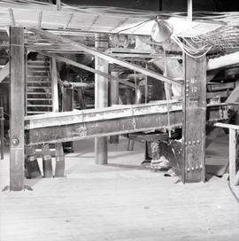
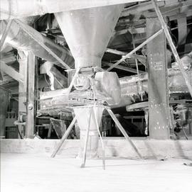
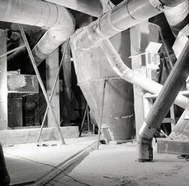
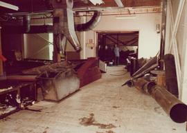
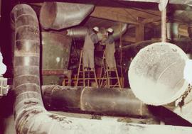
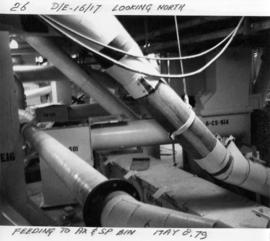
Photograph of mill fan with supplied note "Ascolecric Limited, Brantford Ontario" and engineering notes for pressure for oil, water and gas.
Photograph of the Mill Modification program in 1970. This photo is part of larger collection of 71 photographs of regarding the improvements to the mill as part of the plantsite and was compiled into a report in 1978.
Photograph of two workers in background working on the Mill Modification program in 1970. This photo is part of larger collection of 71 photographs of this program, compiled into a report in 1978.
Photograph depicts the inside of a mill.
Photograph depicts a work area in a mill.
Photograph depicts a work area in a mill with danger signs in English, French, German, and Spanish.
Photograph depicts the inside of a mill.
Photograph depicts the Cassiar mine. North and South peak featured in background, and West peak in left foreground. Pit is being developed between South peak and West peak. Old mine garage is visible in lower centre of image, and crushing plant in right foreground. Mountain range in distance.
Crushing plant and strip mining area visible in Cassiar mountain range.
Photograph depicts chute from distance. Annotation on verso of photograph: "CASSIAR ASBESTOS CORP. LTD. MINE AND ORE CHUTE ON McDAMES MOUNTAIN".
Photograph depicts the pit mine, and road in valley below. Town of Cassiar can be seen in distance at foot of south mountain range.
Photograph depicts the town of Cassiar in distance behind pit mine in foreground. South mountain range in background. Photograph was taken from the air, portion of plane visible in top left of image.
Photograph depicts the pit mine, and road in valley below. Town of Cassiar can be seen in distance at foot of south mountain range.
Photograph depicts buildings near West Peak of Cassiar mine. Haul trucks parked near old mine garage in background, new mine garage and unknown buildings in foreground. Mine valley crosses midground, expansive western mountain range in background.
Switchback road, power lines and tramline towers are believed to be visible in the background valley. Construction of a long structure near the edge of the excavation area can be seen in midground; this is speculated to be the section of the crusher building which housed conveyor "B".
Photograph depicts the primary crushing plant in foreground. Mine road can be seen below, and plant is visible in distance. South mountains in background. Handwritten annotation on recto of photograph: "1961-1962".
Photograph depicts the mine road in valley bellow mine. Cassiar plant and tailings pile in foreground. Handwritten annotation on recto of photograph: "Oct. 25 / 65 4:25 PM."
Photograph depicts the mine road in valley below bulldozer parked on edge of mountain. Cassiar plant and town visible in distance, south mountains behind them in background. Photo also depicts what appears to be a cloud rising from the tailings pile in plantsite.
Photograph depicts view of mine road in valley, from mountain above. Plant, tailings pile, and town visible in distance. South mountains in background. Handwritten annotation on verso of photograph: "1961", on recto: Townsite and Plantsite from mine."
Photograph depicts the mine road in valley, view from mountain above. Plant, tailings pile, and town visible in distance. South mountains in background. Handwritten annotation on recto of photograph: "1961-1962".
Photograph depicts the Cassiar mine, switchback road in foreground, mountain range in background. Pit is visible to right of West peak. The new mine garage can be seen on West peak just above "#7 switchback" in centre of image.
Photograph depicts the Cassiar mine in left area of mountain range. The new mine garage can be seen on West peak on far left.
Photograph depicts the Cassiar mine in mountain range. Crushing plant and tramline station visible in foreground, and new mine garage can be seen on West peak on far left.
Photograph depicts the Cassiar mine above valley bellow, north east mountain range in background. Photograph was taken from the air, portion of plane visible in top left of image.
Photograph depicts the mine valley in foreground below Cassiar Mine, north east mountain range in background.
Photograph depicts the Cassiar mine in foreground, north east mountain range in background. Tramline station and crushing plant visible in foreground in front of pit. Photograph was taken from the air, portion of plane visible in top left of image.
Photograph depicts the Cassiar mine in foreground, north east mountain range in background. Tramline station and crushing plant visible in foreground, west of pit. Photograph was taken from the air, portion of plane visible in top left of image.
Photograph depicts the Cassiar mine above valley, north mountain range in background. Tramline station and crushing plant visible to west of pit. Photograph was taken from the air, portion of plane visible in top left of image.
Photograph depicts the Cassiar mine to right of mine valley, north mountain range in background. Tramline station visible on west of open pit, and the new mine garage can be seen behind the West peak.
Photograph depicts the Cassiar mine, switchback road in foreground, mountain range in background. Pit is visible behind the West peak. The new mine garage can be seen on West peak just above "#7 switchback" in centre of image.
Photograph depicts the Cassiar mine, switchback road in foreground, mountain range in background. Pit is visible behind the West peak. The new mine garage can be seen on West peak just above "#7 switchback" in centre of image. Photograph was taken from the air, portion of plane visible in top left of image.
Photograph depicts large square model of the new mill building that was built at the Cassiar plant site in 1970. Model is displayed on green material laid on floor against wall in unidentified room. Machinery modeled inside the structure is colour-coded.
Photograph depicts large square model of the new mill building that was built at the Cassiar plant site in 1970. Model is displayed on green material set on a platform in snowy area. Machinery modeled inside the structure is colour-coded. Mountain in background.
Photograph depicts large square model of the new mill building that was built at the Cassiar plant site in 1970. Model is displayed outdoors on a platform that stands on four saw horses. Machinery modeled inside the structure is colour-coded. Plant buildings and mountains in background.
Photograph depicts large square model of the new mill building that was built at the Cassiar plant site in 1970. Model is displayed on green material set on a platform in snowy area. Machinery modeled inside the structure is colour-coded. Mountain in background.