Item
Part of Cassiar Asbestos Corporation Ltd. fonds
Handwritten annotation on recto of photograph: "FURNACE PAD AUG 25/64." Photograph depicts construction worker standing on elevated wood platform. Three other men can be seen working in construction area. This location is believed to be under the conveyor to crusher building, retaining wall in midground.
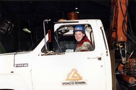
Photograph depicts Gary Pederson driving a truck in the equipment garage.
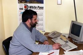
Photograph depicts planned maintenance supervisor Gerald Currie sitting at a desk with a computer.
Photograph depicts underground mine superintendent Gerald Verret.
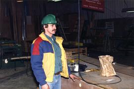
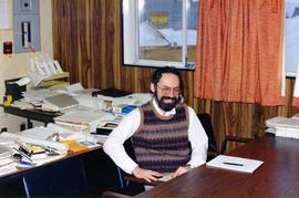
Photograph depicts Gile Chartrand in the surface shop.
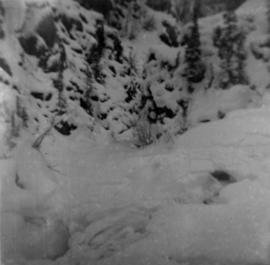
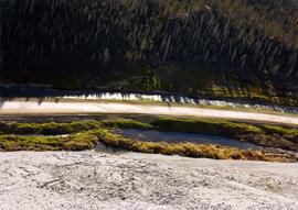
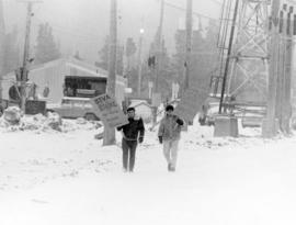
Photograph depicts glacier on McDame Creek road, 1.5 miles from the mine at Cassiar. Snow-covered trees in background.
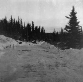
Photograph depicts McDame Creek Road, snow-covered and taken from center of road 1.5 miles from the early construction camp at Cassiar. Two stakes in foreground, one on either side of road. Glacier is believed to be crossing road between two stakes. Trees on either side of road, trees and hills in background.
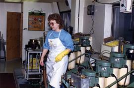
Photograph depicts lab technician Gloria Dostie in the mill lab.

Photograph depicts close up view of gravel pit, ruler displayed for scale. Photograph speculated to have been taken at the plant or near the Cassiar airstrip. Stamped annotation on recto of photograph: "JUN. 1987".
Photograph appears to be a close up of fibre samples. Title of original file implies a relation to Grizzley Sizer equipment.
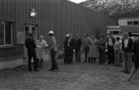
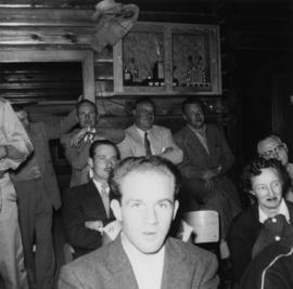
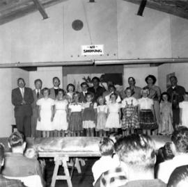
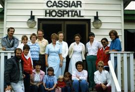
Photograph depicts a group of peaople gathered outside for a building dedication.
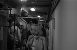
Photograph depicts a group of men and women touring inside the mill.
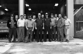
Photograph depicts Cassiar employees and two firemen wearing Justice Institute of British Columbia hats standing in front of an open garage with fire trucks in Vancouver.
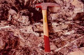
Photograph depicts a geologist's hammer, believed to belong to Cassiar's Chief Geologist Bill Plumb. The hammer provides a scale for the exposed asbestos, indicating the percent of fibre in the rock as well as the expectation of grade.
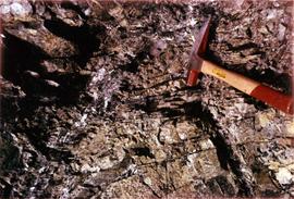
Photograph depicts a geologist's hammer, believed to belong to Cassiar's Chief Geologist Bill Plumb. The hammer provides a scale for the exposed asbestos, indicating the percent of fibre in the rock as well as the expectation of grade.
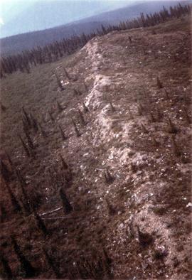
Photograph depicts a ridge showing asbestos fibers.

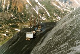
Photograph depicts crusher plant in centre foreground. Shifter shack and vehicles can be seen in front of pit area. West Peak semi-visible in right midground. Mine valley an northwestern mountain range in background.

Photograph depicts the West Peak of the Cassiar mine on McDame Mountain. Pit area visible between West Peak and road in foreground. Mine valley and north mountain range in background. Photo speculated to have been taken from a point on or near the South or North Peak.

Photograph depicts mine valley and road in foreground. Cassiar plant and tailings pile visible in left midground, townsite in right midground. Mountainside of McDame Mountain in foreground, southern mountain range in background.

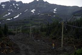
Photograph depicts plant buildings in front of tailings pile in midground. Forest, power line, and tramline in foreground; south mountains in background.

Photograph depicts plant buildings below, tailings pile in foreground. Valley and mountains in background. Handwritten annotation on recto of photograph: "CASSIAR".
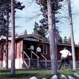
Photograph depicts two unidentified men entering building with the sign "THE ROYAL BANK OF CANADA" above main entrance. Photographer with tripod in foreground.
Photograph depicts tail rotor of helicopter in left foreground, as helicopter ascends or descends. It is possible that this photo may have been taken at Clinton Creek, Y.T. rather than Cassiar, B.C.
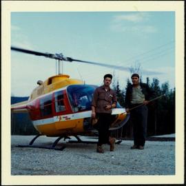
Photograph depicts two unidentified men in front of yellow and red helicopter at unknown location. Power lines and trees in background. It is possible that this photo may have been taken at Clinton Creek, Y.T. rather than Cassiar, B.C.

Photograph depicts row of houses behind trees. Power line, road, and vehicles in foreground; mountain in background.

Photograph depicts row of houses behind trees. Road, front yards, and vehicle in foreground, mountains in background.
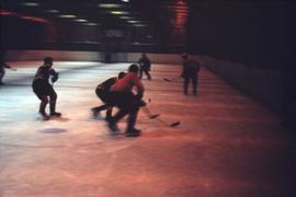
Slide depicts a hockey game in what is believed to be the Cassiar Arena.
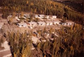
Photograph depicts an aerial view of homes and trailer lots at Clinton Creek.
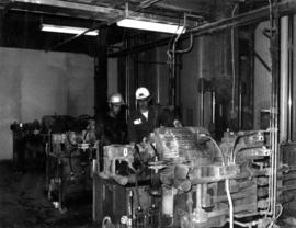
Photograph depicts lead hand mechanic Frank Power and mill main forman John Winner in the hydraulic room of the bagging machine at the Clinton Creek mine.
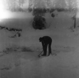
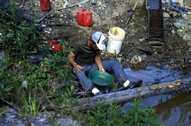
Photograph depicts man with axe believed to be Ed Livingstone breaking ice over weir on Troutline Creek, ice is 8 inches deep. Snow in foreground and background, trees in background.