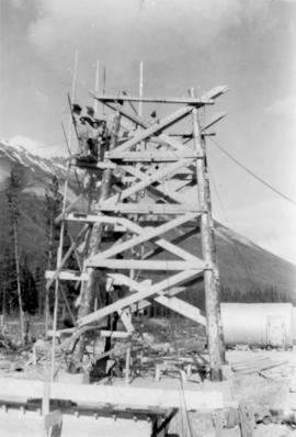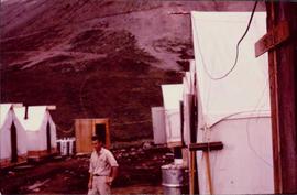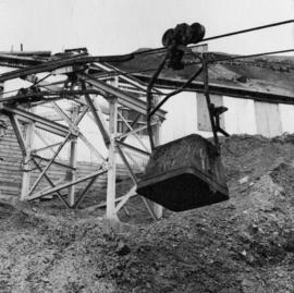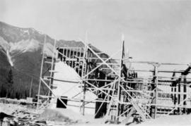
2000.1.1.2.1.175
·
Item
·
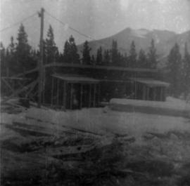
[July 1952 ?]
Part of Cassiar Asbestos Corporation Ltd. fonds
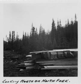
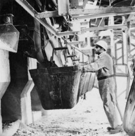
Photograph depicts framework for mill building, corner section of wall finished. Building materials in foreground, mountains in background.