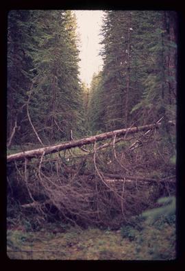
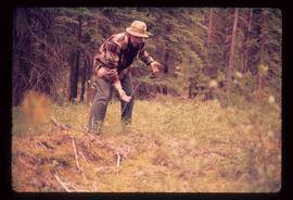
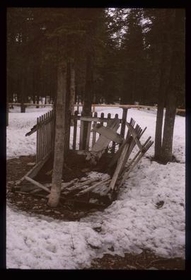
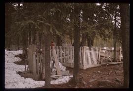
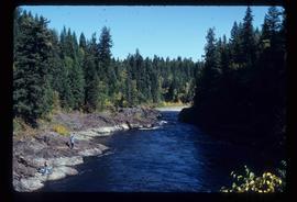
Image depicts the Tsek'enhe cemetery at McLeod Lake.
Image depicts numerous trees in an uncertain location; the slide itself is labelled "T.T. Cutting," possibly meaning "Telegraph Trail Cutting."
Image depicts an old tomb stone at an uncertain location, possibly Fort St. James, B.C.
Image depicts a man with the wire for the telegraph trail in an uncertain location.
Image depicts an old, rotting grave marker in the Stanley Cemetery.
Image depicts the Stanley Cemetery.
Image depicts a shed in an unknown location.
Image depicts an old log cabin in Salmon Valley.
Image depicts an old log house with a collapsing roof in Salmon Valley.
Image depicts two rows of houses in an unknown location.
Image depicts a river, possibly either the Nechako or the Fraser, and a mountain range from an unknown location.
Image depicts the Pack River outlet at McLeod Lake.
Image depicts several old log cabins, possibly at McLeod Lake.
Image depicts Mud River, also known as the Chilako River, at Blackwater Road, Prince George, B.C.
Image depicts buildings in the village community of Metlakatla, B.C.
Image depicts a building by the shore of McLeod Lake.
Image depicts McLeod Lake and several buildings along the shore.
Image depicts McLeod lake.
Image depicts a lake with numerous buildings along the shore. The location is uncertain.
Image depicts a number of houses built on stilts over a body of water in an uncertain location.
Image depicts a number of houses at an uncertain location, possibly Williams Lake, B.C.
Image depicts a house on Blackwater Road.
Image depicts the grave of John A. Fraser in Barkerville, B.C.
Image depicts the grave of John A. Cameron at Barkerville, B.C.
Image depicts the grave of Frank Russell "Russ" Baker in Fort St. James, B.C.
Image depicts a partially frozen lake, most likely Stuart Lake in Fort St. James, B.C.
Image depicts a lake, possibly Stuart Lake in Fort St. James, B.C.
Image depicts Stuart Lake in Fort St. James, B.C.
Image depicts a forestry cabin located in Tête Jaune Cache, B.C.
Image depicts the Barkerville Cemetery.
Image depicts a cemetery at an uncertain location, possibly in Fort St. James, B.C.
Image depicts the old, grown-over Cariboo Road at an uncertain location.
Image depicts the Cariboo Road south of Williams Lake.
Image depicts the Cariboo Road at Hat Creek Ranch, near Highway 99 on the way to Lillooet.
Image depicts Bobtail Lake.
Image depicts an abandoned cabin and shed on Blackwater Road.
Image depicts a bridge over Blackwater River, with an unknown individual standing on it.
Image depicts Blackwater River, B.C.
Image depicts the Blackwater River.
Image depicts Blackwater River.