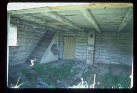
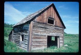
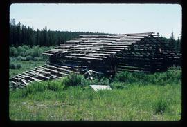
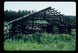
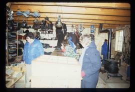
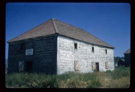
Image depicts the interior of an abandoned, deteriorating cabin on Blackwater Road.
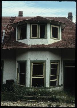
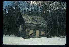
Image depicts an abandoned, deteriorating cabin on Blackwater Road.
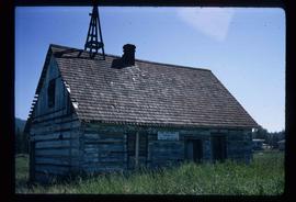
Image depicts a shed on Blackwater Road.
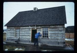
Image depicts a shed on Blackwater Road.
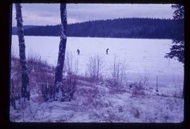
Image depicts Bobtail Lake.
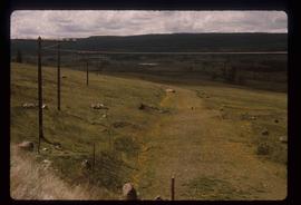
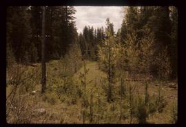
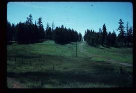
Image depicts the old, grown-over Cariboo Road at an uncertain location.
Image depicts the old, grown-over Cariboo Road at an uncertain location.
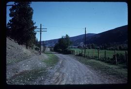
Image depicts the Cariboo Road south of Williams Lake.
Image depicts the Cariboo Road at Hat Creek Ranch, near Highway 99 on the way to Lillooet.
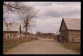
Image depicts the Cariboo Road passing through the Cottonwood House Historic Site.
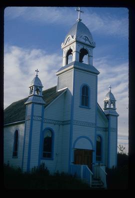
Image depicts a Catholic church at an unknown location.
Image depicts the Barkerville Cemetery.
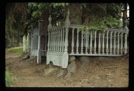
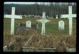
Image depicts a cemetery at an uncertain location, possibly in Fort St. James, B.C.
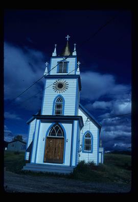
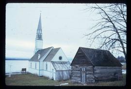
Image depicts a church, somewhere between Hazelton and Hagwilget, B.C.
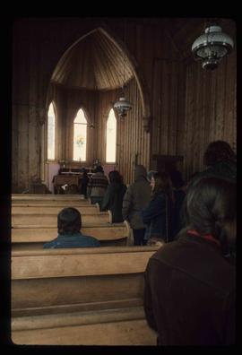
Image depicts the interior of a church, possibly one in or near Barkerville, B.C.
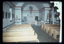
Image depicts the interior of a church, likely in Fort St. James, B.C.
Image depicts a condominium, possibly in Prince Rupert, B.C.
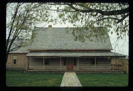
Image depicts the Cottonwood House at the Historic Site located in Barkerville, B.C.
Image depicts the Cottonwood House.
Image depicts the Cottonwood House.
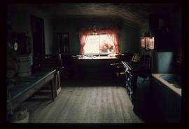
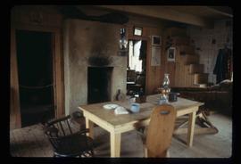
Image depicts the kitchen area of the interior of the Cottonwood House.
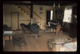
Image depicts the living area of the interior of the Cottonwood House.
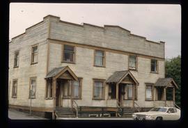
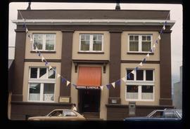
Image depicts an old building with a sign labelling it as a "Dining Lounge," it is possibly in Prince Rupert, B.C.
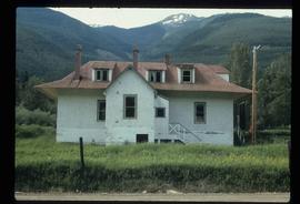
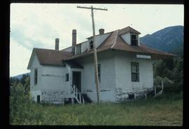
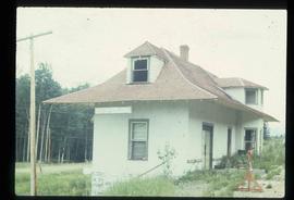
Image depicts an old, rundown building in Dunster, B.C. Possibly a disused Rail Station.
Image depicts an old, rundown building in Dunster, B.C. Possibly a disused Rail Station.
Image depicts an old, rundown building in Dunster, B.C. Possibly a disused Rail Station.
Image depicts an old, rundown building in Dunster, B.C. Possibly a disused Rail Station.
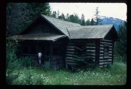
Image depicts a forestry cabin located in Tête Jaune Cache, B.C.
Image depicts a building from the 1880's in Fort Fraser.
Image depicts a church in Fort St. James, B.C.
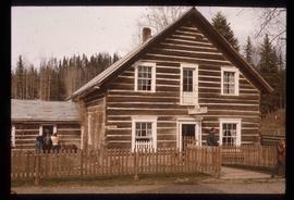
Image depicts an old log building in Fort St. James; the sign on it reads "Clerk's Living Quarters, Later Used as Fort St. James First School."
Image depicts a historic building in Fort St. James, B.C.
Image depicts the interior of a historic building in Fort St. James, B.C.
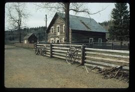
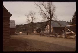
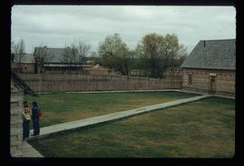
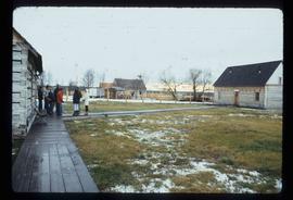
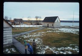
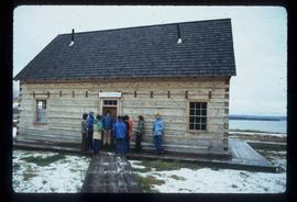
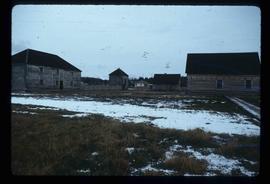
Image depicts the Hudson's Bay Company historic site in Fort St. James, B.C.
Image depicts the Hudson's Bay Company historic site in Fort St. James, B.C.
Image depicts the Hudson's Bay Company historic site in Fort St. James, B.C.
Image depicts the Hudson's Bay Company historic site in Fort St. James, B.C.
Image depicts the historic Hudson's Bay Company office in Fort St. James, B.C.
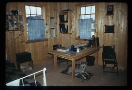
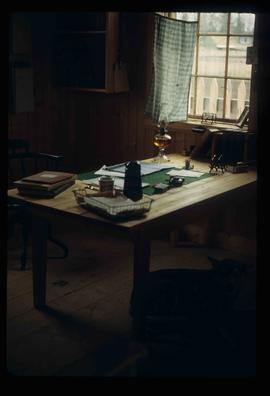
Image depicts the interior of the historic Hudson's Bay Company office in Fort St. James, B.C.
Image depicts the interior of the historic Hudson's Bay Company office in Fort St. James, B.C.
Image depicts the Hudson's Bay Company Trading Post at the historic site in Fort St. James, B.C.
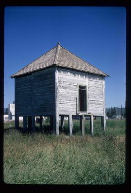
Image depicts an old shack on stilts in Fort St. James, B.C.
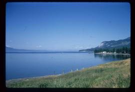
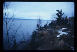
Image depicts Stuart Lake in Fort St. James, B.C.
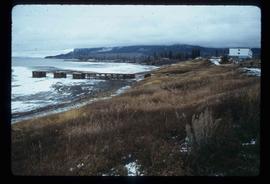
Image depicts a partially frozen lake, most likely Stuart Lake in Fort St. James, B.C.
Image depicts a lake, possibly Stuart Lake in Fort St. James, B.C.
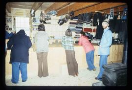
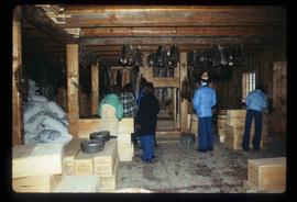
Image depicts the interior of the historic Hudson's Bay Company Trading Post, with several unknown individuals present, in Fort St. James, B.C.
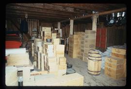
Image depicts the interior of the historic Hudson's Bay Company Trading Post in Fort St. James, B.C.
Image depicts the interior of the historic Hudson's Bay Company Trading Post, with several unknown individuals present, in Fort St. James, B.C.
Image depicts the interior of the historic Hudson's Bay Company Trading Post, with several unknown individuals present, in Fort St. James, B.C.
Image depicts the old Trading Outpost in Fort St. James, B.C.
