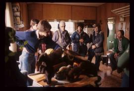
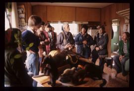
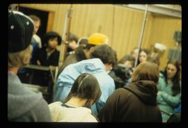
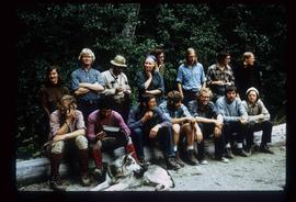
File contains slides depicting items and photographs in a museum.
File contains slides depicting Greenwood, B.C.
Image depicts an aerial view of a grooved region of land at an uncertain location.
Image depicts an aerial view of grooves in the land near the Fraser River, possibly caused by glaciers.
Image depicts a view of grooves in the land near the Fraser River, possibly caused by glaciers.
Image depicts an aerial view of a grooved region of land at an uncertain location.
Image depicts a group of individuals and a bus with words that read: "Prince George Limousine & Charter." The river in the background is possibly the Peace River, and the location is possibly somewhere near Fort St. John, B.C.
Image depicts a group of people standing near a river. A glacier is visible in the background.
Image depicts a group of people and two vans, apparently preparing to set out on a hike somewhere near Riske Creek, B.C.
Image depicts a group of hikers listening to a man, possibly a guide, speak. The location is possibly near Riske Creek, B.C.
Image depicts a group of hikers, possibly somewhere near Riske Creek, B.C.
Image depicts a group of people hiking, possibly somewhere near Riske Creek, B.C.
Image depicts a group of hikers on a hiking trail.
Image depicts a group of hikers examining something on the ground, most likely the small pink flower that is barely visible in the grass. The location is possibly near Riske Creek.
Image depicts a group of people in a kitchen area of the Mueller home in Sinclair Mills, B.C.; the man in the grey shirt is Ray Mueller displaying his taxidermy collection. Map coordinates 54.014188, -121.676973
Image depicts a group of people in a kitchen area of the Mueller home in Sinclair Mill, B.C.; the man in the grey shirt is Ray Mueller displaying his taxidermy collection. Map coordinates 54.014188, -121.676972
Image depicts a large group of people in a room at an uncertain location in the Peace River Region.
File contains slides depicting photographs of the art works of the Group of Seven.
Image depicts a group of individuals standing on the corner of 3rd Ave in Prince George, B.C.
Image depicts numerous individuals who appear to be searching among the rocks on a ledge at an uncertain location in the Peace River Region.
Image depicts the hiking group. Kent Sedgwick is located in the back row, third from the left with a pipe.
File contains slides depicting old photographs and maps of the Central Interior of British Columbia.
File contains slides depicting maps of the Prince George town site.
Image depicts the Grand Trunk Pacific railway roundhouse in Prince George, B.C.
File contains slides depicting images of the Grand Trunk Pacific railway roundhouse in Prince George, B.C.
Image depicts the Grand Trunk Pacific railway roundhouse in Prince George, B.C.
Image depicts the GTP roundhouse in Prince George, B.C.
Image depicts the Grand Trunk Pacific railway roundhouse in Prince George, B.C.
Image depicts the interior of the GTP roundhouse in Prince George, B.C.
Image depicts machinery in the GTP roundhouse in Prince George, B.C.
File contains slides depicting CN locations east of Prince George.
Image depicts a bridge in Hagwilget, B.C.
Image depicts a church on a hill in Hagwilget, B.C.
File contains slides depicting places on Haida Gwaii, formerly known as the Queen Charlotte Islands.
Image depicts Haldi Lake near Prince George, B.C.
Image depicts an old, half-collapsed building at an uncertain location.
Image depicts a house on Blackwater Road.
Image depicts a hallway in an unknown building somewhere in Wells, B.C.
Image depicts a hammer sitting in dirt at an uncertain location.
Image depicts a man and woman shaking hands in a building at an uncertain location, possibly in Cottonwood Park. The man standing behind the two is possibly Elmer Mercier, a former mayor of Prince George, B.C.
Image depicts the new Hansard Bridge. Map coordinates 54°04'57.9"N 121°51'10.1"W
Image depicts the Hansard railroad bridge taken from the new Hansard vehicle bridge. Map coordinates 54°04'58.1"N 121°50'58.0"W
Image depicts the Hansard railroad bridge looking west. Map coordinates 54°04'37.9"N 121°50'46.3"W