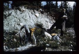
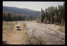
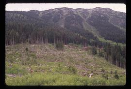
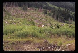
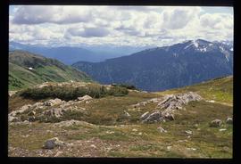
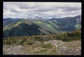
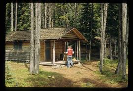
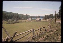
Image depicts Kent Sedgwick speaking to a group of hikers.
Image depicts a man looking at some papers. It is most likely Kent Sedgwick.
Image depicts Kent Sedgwick sitting on the bank of a river. An old beehive burner is visible in the background. Located somewhere in or near Penny, B.C.
Image depicts a boat dock on the Nechako Reservoir at Kenny Dam.
Image depicts a boat on the Nechako Reservoir at Kenny Dam.
Image depicts Kenny Dam, south of Francois Lake, and southwest of Vanderhoof, B.C.
Image depicts a stretch of land; the photo was taken from the top of Kenny Dam, south of Francois Lake.
Image depicts the Kenney Dam near Cheslatta, B.C.
Image depicts a view of Kelly Lake Valley from Pavilion Mountain.
Image depicts a view of Kelly Lake in Downing Provincial Park.
Image depicts a blue truck and a camper in the wooded area surrounding the townsite of Keithley Creek, B.C.
Image depicts a sign on the dirt road leading to Barkerville from Keithley Creek. The sign reads: "Barkerville 40 (via Yanks Peak) Maximum elevation 6200 FT. Summer road only. Steep grades and switchbacks not recommended for other than 4-wheel drive vehicles. You are entering an isolated mountain area; you will be on your own."
Image depicts the townsite of Keithley Creek, B.C.
Image depicts the Keithley Creek, with several unknown individuals walking along the banks.
File contains slides depicting places in and around the Kamloops and Lillooet regions.
File contains slides depicting places in and around the Junction Sheep Range Provincial Park south-west of Williams Lake.
Image depicts a road, possibly Joffre Creek Road. The slide is simply labelled "Joffre cr."
Image depicts a deer in the bottom left corner, as well as a view of a mountain side, somewhere at Joffre Creek.
Image depicts a deer somewhere at Joffre Creek.
Image depicts a view of James Creek Valley.
Image depicts an unknown individual in the J. Edwards Camp in South Tweedsmuir Provincial Park.
Image depicts the dock for ferries in Isle Pierre, B.C.
Image depicts the ferry at Isle Pierre, B.C.
Image depicts the ferry in Isle Pierre, B.C.
File contains slides depicting Island Cache on Cottonwood Island in Prince George, B.C.
Image depicts the sunset over Isaac Lake from the Betty Wendle campsite.
Image depicts Isaac Lake from the Betty Wendle campsite.
Image depicts a camp at the Betty Wendle campsite at Isaac Lake.
Image depicts Isaac Lake.
Image depicts a log jamb at the Isaac Falls.
Image depicts the Isaac Falls.
Image depicts what is possibly an irrigation channel somewhere in Seton Portage, B.C.
Image depicts the street sign for Iron Road South, which is located north of Woodpecker, B.C.
Image depicts Iron Road South, which is located north of Woodpecker, B.C.
Image depicts Iron Road North, and a creek surrounded by trees. Located north of Woodpecker, B.C.
Image depicts what is possibly an intrusive volcanic landform somewhere near Miworth, B.C.
File contains slides depicting various types of instruments at various locations, including Willow River.
Image depicts the Inlander Hotel in Hazelton, B.C. The peak of the Rocher de Boule mountain is visible in the background.
Image depicts Indianpoint Lake.
Image depicts a grave-marker with several names, it reads: "In Memory of Edith Golder, Winnifred Golder, Baby Pelton, Mrs. Nazarek, Baby Nazarek, Baby Wazylyk 1915 - 1929." It is located in the Willow River Cemetery.
File contains slides depicting places in Idaho, Wyoming, and Montana, USA.
Image depicts a boulder protruding from layers of sediment with a hammer beside it for size reference. It is located somewhere in Soda Creek, B.C.
Image depicts an unidentified individual drilling into the ice.
Image depicts a hand-held ice drill.
Image depicts the old log buildings of the town of Hydraulic, B.C.
File contains slides depicting Premier Mine in Hyder, Alaska.