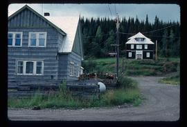
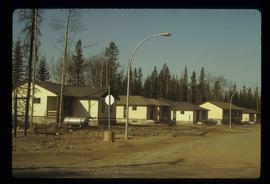
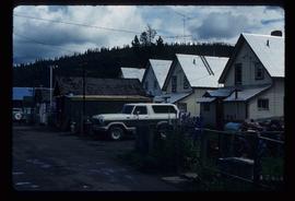
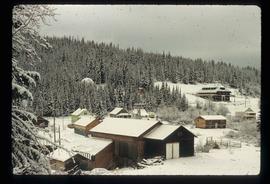
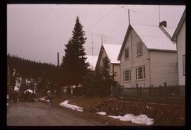
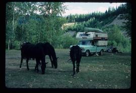
Image depicts several horses near a camper somewhere in Quesnelle Forks, B.C.
Image depicts what is possibly Hospital Beach in Kitimat, B.C. The facility in the background is possibly the Alcan smelter.
Image depicts the hospital building and another building in Wells, B.C.
Image depicts a house in 127 Mile House, B.C.
Image depicts a house with the main floor and entrance high off the ground. The location is uncertain, likely Giscome, B.C.
Image depicts a house, most likely on Thompson Drive in Prince George, B.C.
Image depicts a house with a vehicle in a garage and the number 40 on it; location is uncertain.
Image depicts a blue house for sale on Upper Fraser Rd. Location is likely Upper Fraser, B.C.
Image depicts a house in Giscome, B.C. Map coordinates 54°04'17.6"N 122°22'06.1"W
Image depicts a small house with brightly coloured door and window frames in Penny, B.C.
Image depicts and old house and vehicle in Upper Fraser, B.C. Map coordinates 54°07'05.7"N 121°56'38.9"W
Image depicts the interior of an old house, possibly the Cottonwood House, and most likely in or near Barkerville, B.C.
Image depicts a house on the shore somewhere on Haida Gwaii.
Image depicts a house being removed from Upper Fraser, B.C. during demolition of town site. A sign on the house reads: "Murray Blackwell House Raising & Moving." Map coordinates 54°06'51.6"N 121°56'26.3"W
Image depicts a house with some Firts Nations' art painted on the front, somewhere on Haida Gwaii, B.C.
Image depicts a house with ivy growing over it. The location is uncertain.
Image depicts a set of train tracks, a farmhouse, and some fields; possibly in Woodpecker, B.C.
Image depicts numerous houses, and an unknown child standing in a street at Island Cache.
Image depicts a few houses in Island Cache.
Image depicts a number of houses at an uncertain location, possibly Williams Lake, B.C.
Image depicts many houses somewhere in Wells, B.C.
Image depicts a row of houses somewhere in Wells, B.C.
Image depicts a row of houses in Tumbler Ridge, B.C.
Image depicts a row of houses in Wells, B.C.
Image depicts a row of houses somewhere in Wells, B.C.
Image depicts a row of houses in Tumbler Ridge, B.C.
Image depicts a number of small houses at Island Cache.
Image depicts a few houses in Island Cache. There are two unknown individuals present.
Image depicts a row of houses in Wells, B.C.
Image depicts a few houses and a dog on a porch at Island Cache.
Image depicts many houses somewhere in Wells, B.C.
Image depicts a row of houses in Wells, B.C.
Image depicts a number of small houses at Island Cache.
Image depicts a view of numerous houses and a ballpark at an uncertain location. It is possibly located somewhere in the Peace River Region.
Image depicts a row of houses, as well as a United Church of Canada on the right side of the image, located in Wells, B.C.
Image depicts several houses, and three goats standing on a narrow dirt road. The location is uncertain, likely Sinclair Mills, B.C.
Image depicts the Giscome B.C. townsite from across the railroad tracks looking southeast. Map coordinates 54°04'19.7"N 122°22'04.7"W
Image depicts a row of houses in Upper Fraser, B.C. Map coordinates 54°06'51.6"N 121°56'26.3"W
Image depicts houses on Dogwood Street in the Millar Addition neighbourhood of Prince George, B.C. On the left is 1610 Dogwood Street and 1630 Dogwood Street is the middle house; 1650 Dogwood Street is the blue house on the right.
Image depicts a number of houses built on stilts over a body of water in an uncertain location.
Image depicts the Britannia Mine, which closed in 1974 and is now a museum. "Anaconda" was the last operating owner.
Image depicts a cabin and several other buildings, possibly located in Hudson's Hope, B.C.
Image depicts a road and numerous buildings in Hudson's Hope, B.C.
Image depicts a street in Hudson's Hope, B.C.
Image depicts what appears to be a Fire Hall in Hudson's Hope, B.C.
Image depicts an old, three-storey building beside a two-storey hotel in Hudson's Hope, B.C.