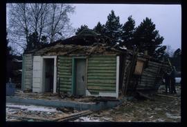
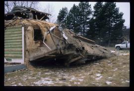
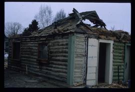
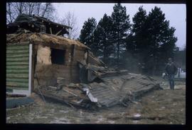
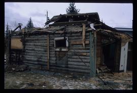
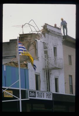
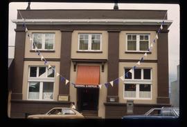
Image depicts a street of businesses in Dawson Creek, B.C.
Image depicts a large building which is labelled "Alberta Pool Elevators Ltd. Dawson Creek," located in Dawson Creek, B.C.
Image depicts the interior of what is possibly a heritage building in Dawson Creek, B.C.
Image depicts a street of businesses and Mile "0" of the Alaskan Highway in Dawson Creek, B.C.
Image depicts Mile "0" of the Alaskan Highway in Dawson Creek, B.C.
Image depicts the Station Museum in Dawson Creek, B.C.
Image depicts the interior of the Station Museum in Dawson Creek, B.C.
Image depicts stuffed wildlife exhibits inside the Station Museum in Dawson Creek, B.C.
Image depicts the Station Museum and the "Alberta Pool Elevators Ltd." building in Dawson Creek, B.C.
File contains slides depicting old geological maps of the Central Interior.
Image depicts a church in Deadman Creek, west of Kamloops, B.C.
Image depicts several children and numerous adults inside a church in Deadman Creek, near Kamloops, B.C.
Image depicts the corner of an old log building in Deadman Creek, near Kamloops, B.C.
Image depicts two children in front of an old log building on the Deadman Creek reserve, located west of Kamloops, B.C.
File contains slides depicting images of areas around Dease Lake, B.C.
Image depicts Upper Fraser residential area during demolition of town site. Map coordinates 54°06'51.6"N 121°56'26.3"W
Image depicts debris left in residential area on Giscome, B.C. townsite. Map coordinates 54°04'16.7"N 122°21'55.1"W
Image depicts a deer on a path somewhere near Bralorne, B.C.
Image depicts a house in the process of being demolished in Prince George, B.C.
Image depicts the rubble of a demolished house at Island Cache, with several other buildings in the background.
Image depicts a house in the process of being demolished in Prince George, B.C.
Image depicts the demolition of the Europe Hotel in Prince George, B.C.
Image depicts an aerial view of Diamond Island, near Quesnel, B.C.
Image depicts a dilapidated house in Sinclair Mills, B.C.
Image depicts two dilapidated houses in Sinclair Mills, B.C.
Image depicts an old house for sale surrounded by overgrown bushes in Upper Fraser, B.C. Map coordinates 54°07'15.0"N 121°57'02.0"W
Image depicts an old building with a sign labelling it as a "Dining Lounge," it is possibly in Prince Rupert, B.C.
Photograph depicting a dirt field surrounded by green trees.
Image depicts a dirt road leading through numerous trees toward a mountain. The location is uncertain, likely on the way to Longworth, B.C.
Image depicts a dirt road and a possibly abandoned building at an uncertain location.
Photograph depicting a dirt road winding between grass and trees in Soda Creek.
Image depicts a dirt road leading through a forest.
Image depicts a dirt road leading through a forest with what appears to be an area for turning around at the end.
Photograph depicts dirt tracks in a field in front of a body of water.
File contains slides depicting areas around the Discovery Passage.
Image depicts a section of disturbed ground at an unknown location.
Image depicts an area of disturbed ground, most likely due to a landslide, at an unknown location.
Image depicts a large section of disturbed ground at an unknown location.
Image depicts an area of disturbed ground, most likely due to a landslide, at an unknown location.