2012.13.1.49.05
·
Item
·
2002
Part of J. Kent Sedgwick fonds
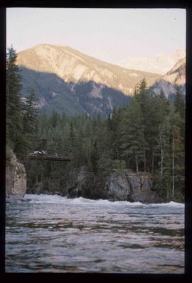
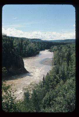
Image depicts a rail road bridge over the Mud River.