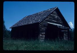
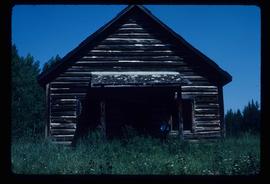
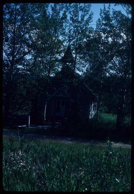
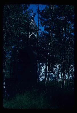
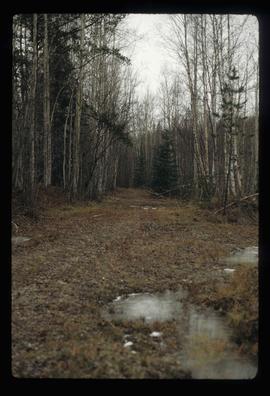
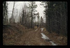
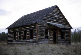
Image depicts a playground in Willow River, B.C. The slide labels it as being a "former hotel site." Map coordinates 54°04'23.7"N 122°28'26.9"W
Image depicts the Willow River General Store. Map coordinates 54°04'23.7"N 122°28'26.9"W
Image depicts a snowy street in Willow River, B.C. with a row of houses. The white building on the end with the Pepsi sign is the Willow River General Store. Map coordinates 54°04'18.3"N 122°28'14.7"W
Image depicts a snowy street in Willow River, B.C. There are several buildings, one is an Esso station and another is labelled as "Red & White Food Store."
Image depicts a river, possibly somewhere in the Wistaria Provincial Park.
Image depicts the old community hall located somewhere in the Wistaria Provincial Park.
Image depicts a woman, wearing clothes reminiscent of traditional First Nations, who appears to be dancing in the street outside of a Native Friendship Centre in Prince George, B.C. A large crowd is looking on.
Image depicts a woman on a boat, possibly on War Lake.
Image depicts a woman standing on a rocky shore somewhere on Haida Gwaii, B.C.
Image depicts an unidentified woman with a camera sitting on the bank of a river.
Image depicts a woman holding a sheet of paper in a room with numerous other unidentified individuals. The man standing behind her is possibly Elmer Mercier, a former Mayor of Prince George, B.C.
Image depicts an unknown woman with a camera. Nearby are the skeletal remains of an unknown animal. The location is the upper Fraser Canyon.
Image depicts two snow sculptures near a wooden bridge on an ice rink, possibly during the Winter City Conference, in Prince George, B.C. Taken at the Prince George Civic Center. Map coordinates 53°54'45.6"N 122°44'59.6"W
Image depicts a wood pile in Island Cache.
Photograph depicts a wooden and abandoned building, the roof caving in and the sides tarnishing. Photograph taken in an unknown location.
Photograph depicts a wooden building, presumably at the Fort St. James historic site.
Photograph depicts a wooden building presumably at the Fort St. James historic site.
Photograph depicts a wooden building presumably at the Fort St. James historic site. The photograph is close up to the building, depicting an open door and the wooden panels along the building.
Photograph depicts a wooden building presumably at the Fort St. James historic site.
Photograph depicts the base of a wooden canoe on a wheeled cart, presumably at the Fort St. James historic site.
Image depicts the Bachelor's Hall in Woodpecker, B.C.
Image depicts a log cabin, with a few unknown individuals working on the roof, in Woodpecker, B.C.
Image depicts the old school in Woodpecker, B.C.
Image depicts a church in Woodpecker, B.C.
Image depicts the grade for the British Columbia Railway, which was formerly known as the Pacific Great Eastern until 1972. It is located somewhere near the Woodpecker Ranch in Woodpecker, B.C.
Image depicts the grade for the British Columbia Railway, which was formerly known as the Pacific Great Eastern until 1972. It is located somewhere near the Woodpecker Ranch in Woodpecker, B.C. There are two unknown individuals present in the image.
Image depicts the Woodpecker School building.
Image depicts the old Woodpecker School.
Image depicts the Woodpecker School building.
Image depicts a tree line in Woodpecker, B.C.
Image depicts Parkwood Place taken from Connaught Hill looking west with the hospital in the background. Map coordinates 53°54'39.9"N 122°45'02.5"W
File contains slides depicting the Woolsey and Place Glaciers.
Image depicts two unknown individuals at the Woolsey Glacier.