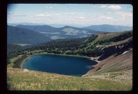
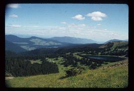
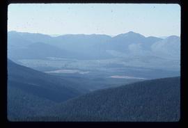
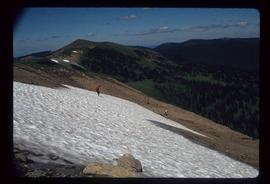
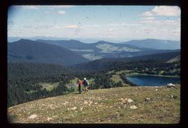
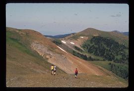
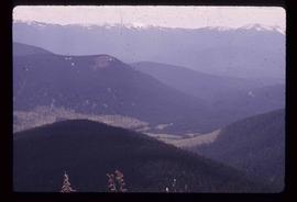
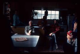
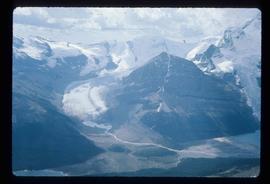
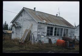
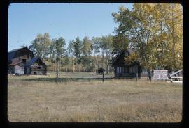
Print preview Close

Showing 3313 results

Archival description
3024 results with digital objects Show results with digital objects
Railway Tracks and Rocks
2012.13.1.91.39 · Item · 1979
Part of J. Kent Sedgwick fonds

Image depicts a group of individuals who appear to be searching through the rocks near a railway track. It is possibly part of an educational trip.

Ranch of the Vikings
2012.13.1.85.32 · Item · [1978?]
Part of J. Kent Sedgwick fonds

Image depicts the ranch house of the Ranch of the Vikings, originally owned and operated by Bjorger Pettersen, a member of the Canadian Ski Hall of Fame, from 1970 until 1985. It is located somewhere west of McBride, B.C.

Raven Lake
2012.13.1.079 · Subseries · 1977
Part of J. Kent Sedgwick fonds

File contains slides depicting Raven Lake and its surrounding areas.

Raven Lake Area
2012.13.1.79.24 · Item · Aug. 1977
Part of J. Kent Sedgwick fonds

Image depicts several individuals hiking in the area surrounding Raven Lake; the lake is visible in the background.

Raven Peak
2012.13.1.79.01 · Item · June 1977
Part of J. Kent Sedgwick fonds

Image depicts Raven Peak in the Sugarbowl Grizzly Den Protected Area located on Highway 16 east of Prince George, B.C.

Ray Mueller
2012.13.1.15.01 · Item · [1975?]
Part of J. Kent Sedgwick fonds

Image depicts a group of people in a kitchen area of the Mueller home in Sinclair Mill, B.C.; the man seated at the table with a grey shirt is Ray Mueller. Louisa Mueller is seated on counter wearing blue shirt. Map coordinates 54.014188, -121.676972

Rearguard Falls
2012.13.1.85.02 · Item · 1970
Part of J. Kent Sedgwick fonds

Image depicts the Rearguard Falls in Rearguard Falls Provincial Park near Tête Jaune Cache along the Yellowhead Highway.

Red Rock (?)
2012.13.1.4.33 · Item · [2000?]
Part of J. Kent Sedgwick fonds

Image depicts a road, forest, and hill rise in an uncertain location possibly near Red Rock, B.C.

Region
2012.13.1.002 · Subseries · [between 1960 and 2006]
Part of J. Kent Sedgwick fonds

File contains slides depicting the Prince George region.

2012.13.1.135.01.03 · Item · [between 1980 and 2000]
Part of J. Kent Sedgwick fonds

Photograph depicts a residential building at 1601 6th Avenue, the corner of 6th Avenue and Vancouver Street. Annotation on verso: "CUTE c-7, union, Vancouver/ 6th".

2012.13.1.135.01.11 · Item · [between 1980 and 2000]
Part of J. Kent Sedgwick fonds

Photograph depicts a residential building at 1612 12th Avenue, the building was used as "Prince Realty". Annotation on verso: "1612 - 12th Ave., NW corner of Vancouver."