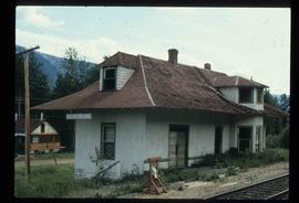
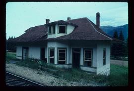
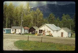
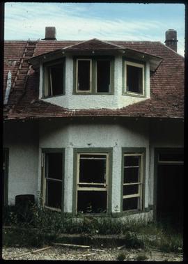
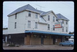
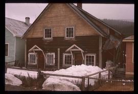
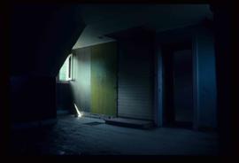
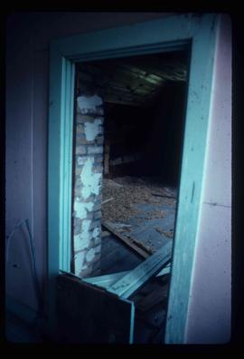
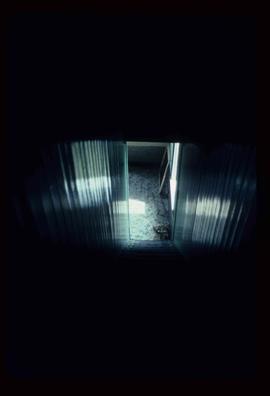
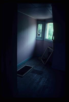
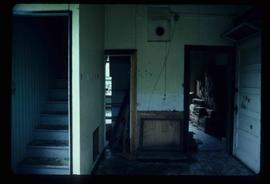
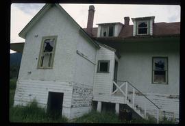
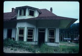
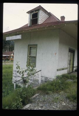
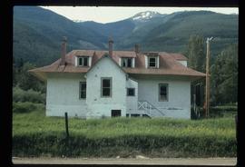
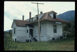
Photograph depicts the Europe Hotel on 3rd Avenue.
Photograph depicts the Europe Hotel on the South side of 3rd Avenue. Annotation on verso: "Europe Hotel".
Image depicts the Europe Hotel in Prince George prior to its demolition in the 1980s; however, the slide itself was only made in 1999 and the date of the photo is otherwise unknown, but most likely around 1979.
Image depicts Eskers Park, near Prince George, B.C.
Image depicts an eroding rock face; the river in the right corner of the image is possibly the Fraser River.
Image depicts what appears to be an eroding rock face. The slide itself is labelled "ash loger at top" for unknown reasons. Possibly located somewhere near Whitehorse, Y.T.
Image depicts an eroding rock face at an uncertain location.
Image depicts the Endako Hotel in Endako, B.C.
Image depicts the Endako General Store in Endako, B.C.
Image depicts a train passing through Endako, B.C.
Image depicts a building surrounded by a tall, circular enclosure somewhere on Haida Gwaii, B.C.
Image depicts employee houses on mill site in Giscome, B.C. Tug boats are in the foreground on the right. Map coordinates 54°04'23.4"N 122°22'16.9"W
File contains slides depicting places along the east line of the BC Railway.
File contains slides depicting places along the east line of the BC Railway. Some are duplicates of the images found in the "East Line, Dome Creek - Lamming Mills - Misc" file.
Image depicts an earth flow north of Stone Creek, B.C.
Image depicts Eaglet Lake in the winter taken from Giscome, B.C. Map coordinates 54°04'20.9"N 122°21'53.1"W
Image depicts the creek flowing into Eaglet Lake. A grey area of hill on the right side of the image appears to be the Giscome Quarry. Map coordinates 54°04'26.2"N 122°22'04.3"W
Image depicts an eastern view over Eaglet Lake.
Image depicts the site of Giscome's first quarry, with Eaglet Lake located in the foreground.
Image depicts the site of Giscome's first quarry, with a train passing by and Eaglet Lake located in the foreground.
Image depicts a lake at an uncertain location, likely Eaglet Lake.
Image depicts Eaglet Lake, north-east of Prince George, B.C.
Image depicts a duplex in Wells, B.C.
Image depicts the train tracks at the old Dunster Station in Dunster, B.C.
Image depicts the interior of the old Dunster Station in Dunster, B.C.
File contains slides depicting images of Dunster Station from 1982 to 1983.
Image depicts the old Dunster Station in Dunster, B.C.
Image depicts the town of Dunster, B.C.
Image depicts an old, rundown building in Dunster, B.C. Possibly a disused Rail Station.