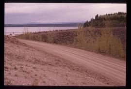
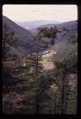
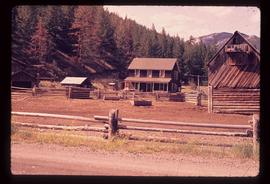
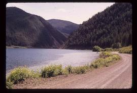
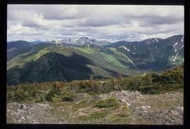
2012.13.1.51.166
·
Item
·
[1999?]
Part of J. Kent Sedgwick fonds
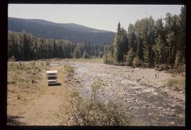
Image depicts a boat dock on the Nechako Reservoir at Kenny Dam.