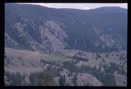
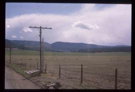
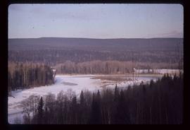
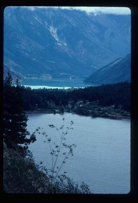
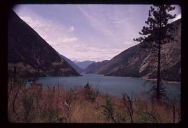
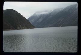
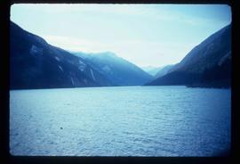
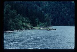
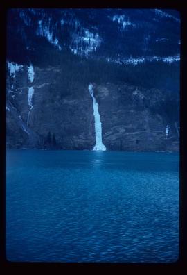
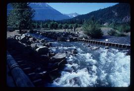
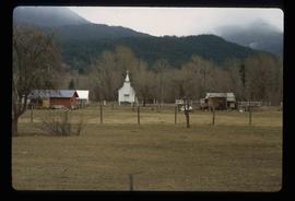
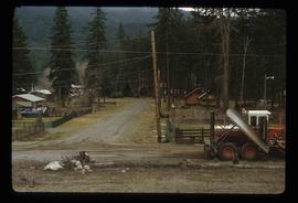
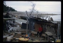
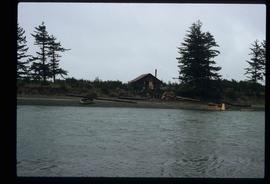
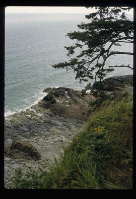
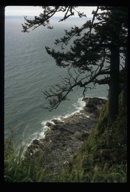
2012.13.1.032
·
Subseries
·
1980
Part of J. Kent Sedgwick fonds
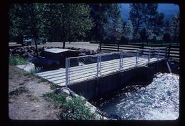
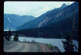
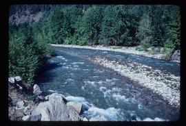
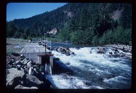
File contains slides depicting Runnalls.